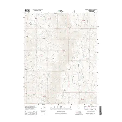
2015 Map of Duckwall Mountain
USGS Topo · Published 2015About this map
Stanislaus National Forest land defines this central Sierra landscape, where high meadows and seasonal springs supported early mountain activity. The remote settlement of Femmons sits near Femmons Meadows in the eastern portion of the map, while several other clearings such as Willow Meadow, Thompson Meadow, and Round Meadow are scattered across the high ground between Clavey River and Reed Cr.
Find a feature on this map
53 named features on this map. Tap any name to fly to it.
Don’t see what you’re looking for? This feature index may not catch every label — zoom into the map to look around manually.
Map Details
Editions of this 2015 Duckwall Mountain Map
This is the sole edition of this map. No revisions or reprints were ever made.
Other maps of this area

1891 · Big Trees
USGS Topo · 1:125,000

1893 · Sonora
USGS Topo · 1:125,000

1894 · Big Trees
USGS Topo · 1:125,000

1896 · Dardanelles
USGS Topo · 1:125,000

1896 · Sonora
USGS Topo · 1:125,000

1897 · Sonora
USGS Topo · 1:125,000

1897 · Big Trees
USGS Topo · 1:125,000

1897 · Yosemite
USGS Topo · 1:125,000

1898 · Dardanelles
USGS Topo · 1:125,000

1898 · Sonora
USGS Topo · 1:125,000