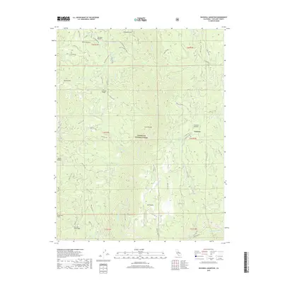
2018 Map of Duckwall Mountain
USGS Topo · Published 2018About this map
The high Sierra Nevada backcountry within the Stanislaus National Forest is defined by its dramatic relief and historic resource extraction points. This 2018 survey documents the varied terrain around Duckwall Mtn and Thompson Peak, where the drainage network flows toward the Clavey River and the Tuolumne River at the southern edge. The map captures isolated human markers such as the Andresen Mine and Whittle Upper Camp, alongside established meadows like Femmons Meadows and Willow Meadow.
Find a feature on this map
63 named features on this map. Tap any name to fly to it.
Don’t see what you’re looking for? This feature index may not catch every label — zoom into the map to look around manually.
Map Details
Editions of this 2018 Duckwall Mountain Map
This is the sole edition of this map. No revisions or reprints were ever made.
Other maps of this area

1891 · Big Trees
USGS Topo · 1:125,000

1893 · Sonora
USGS Topo · 1:125,000

1894 · Big Trees
USGS Topo · 1:125,000

1896 · Dardanelles
USGS Topo · 1:125,000

1896 · Sonora
USGS Topo · 1:125,000

1897 · Sonora
USGS Topo · 1:125,000

1897 · Big Trees
USGS Topo · 1:125,000

1897 · Yosemite
USGS Topo · 1:125,000

1898 · Dardanelles
USGS Topo · 1:125,000

1898 · Sonora
USGS Topo · 1:125,000