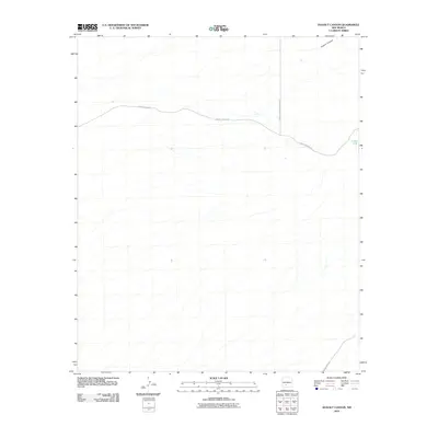
2010 Map of Dugout Canyon
USGS Topo · Published 2010About this map
White Sands Missile Range dominates the eastern landscape of this Sierra County quadrangle, where the restricted military boundary intersects the high desert terrain of the Tularosa Basin. The map focuses on a transitional area characterized by arroyo systems like Dugout Canyon in the north and the essential water catchment at Crispy Tank further south. These artificial tanks are critical features in this arid environment, often marking historically significant gathering points for ranching operations. Access to this stretch of high desert is maintained through a sparse network of unpaved routes, primarily County Road A-23, which traverses the central portion of the sheet toward the missile range boundary, and County Rd A021 in the southeast corner. The minimal development shown reflects the land use patterns typical of the region's buffer zones between public land and federal military installations.
Find a feature on this map
6 named features on this map. Tap any name to fly to it.
Don’t see what you’re looking for? This feature index may not catch every label — zoom into the map to look around manually.
Map Details
Editions of this 2010 Dugout Canyon Map
This is the sole edition of this map. No revisions or reprints were ever made.
Other maps of this area

1916 · Tonuco
USGS Topo · 1:125,000

1916 · Salinas Peak
USGS Topo · 1:125,000

1932 · Tonuco
USGS Topo · 1:125,000

1948 · Sowell
USGS Topo · 1:62,500

1948 · Chicken Well
USGS Topo · 1:62,500

1948 · Kaylor Mountain
USGS Topo · 1:62,500

1948 · Black Top Mountain
USGS Topo · 1:62,500

1954 · Tularosa
USGS Topo · 1:250,000

1955 · Las Cruces
USGS Topo · 1:250,000

1958 · Las Cruces
USGS Topo · 1:250,000