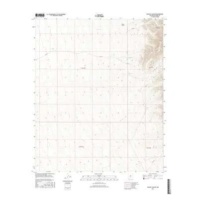
2017 Map of Dugout Canyon
USGS Topo · Published 2017About this map
The San Andres Mountains dominate the eastern edge of this Sierra County landscape, where steep contours give way to the more gradual slopes of the Dugout Canyon system. This arid region is defined by its water management infrastructure, essential for ranching and land use in the high desert. A network of named catchments, including Rabbit Tank, Johnson Tank, and Marys Tank, are scattered across the terrain, indicating the critical nature of water storage for the local economy and ecology.
Find a feature on this map
18 named features on this map. Tap any name to fly to it.
Don’t see what you’re looking for? This feature index may not catch every label — zoom into the map to look around manually.
Map Details
Editions of this 2017 Dugout Canyon Map
This is the sole edition of this map. No revisions or reprints were ever made.
Other maps of this area

1916 · Tonuco
USGS Topo · 1:125,000

1916 · Salinas Peak
USGS Topo · 1:125,000

1932 · Tonuco
USGS Topo · 1:125,000

1948 · Sowell
USGS Topo · 1:62,500

1948 · Chicken Well
USGS Topo · 1:62,500

1948 · Kaylor Mountain
USGS Topo · 1:62,500

1948 · Black Top Mountain
USGS Topo · 1:62,500

1954 · Tularosa
USGS Topo · 1:250,000

1955 · Las Cruces
USGS Topo · 1:250,000

1958 · Las Cruces
USGS Topo · 1:250,000