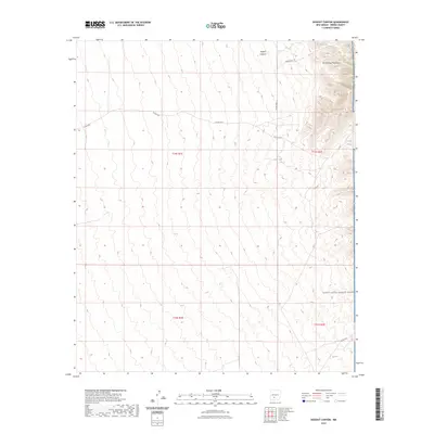
2023 Map of Dugout Canyon
USGS Topo · Published 2023About this map
The San Andres Mountains dominate the eastern edge of this Sierra County landscape, where the rugged terrain transitions into the restricted territory of the White Sands Missile Range. This map documents a desert environment defined by critical water infrastructure and remote access routes, centered on the drainage of Dugout Canyon. Scattered throughout the arid basins are artificial water catchments like BLM Tank and Crispy Tank, which suggest the area's continued use for livestock or wildlife management despite the proximity to military operations. A network of primitive roads, including Harding Rd and Co Rd Ao23, provides the only passage through this sparsely populated section of New Mexico, illustrating the isolation and specialized land use common in the foothills of the high desert.
Find a feature on this map
13 named features on this map. Tap any name to fly to it.
Don’t see what you’re looking for? This feature index may not catch every label — zoom into the map to look around manually.
Map Details
Editions of this 2023 Dugout Canyon Map
This is the sole edition of this map. No revisions or reprints were ever made.
Other maps of this area

1916 · Tonuco
USGS Topo · 1:125,000

1916 · Salinas Peak
USGS Topo · 1:125,000

1932 · Tonuco
USGS Topo · 1:125,000

1948 · Sowell
USGS Topo · 1:62,500

1948 · Chicken Well
USGS Topo · 1:62,500

1948 · Kaylor Mountain
USGS Topo · 1:62,500

1948 · Black Top Mountain
USGS Topo · 1:62,500

1954 · Tularosa
USGS Topo · 1:250,000

1955 · Las Cruces
USGS Topo · 1:250,000

1958 · Las Cruces
USGS Topo · 1:250,000