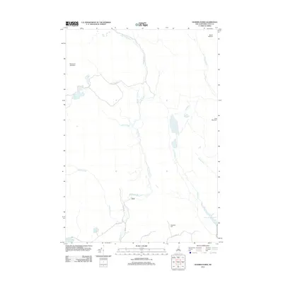
2012 Map of Dummer Ponds
USGS Topo · Published 2012About this map
The small settlement of Paris serves as a focal point in this remote corner of Coos County, located where Paris Rd meets Phillips Brook Rd. The landscape is defined by the complex hydrology of the Great North Woods, centered on the Dummer Ponds and the winding course of Phillips Brook. These waterways, along with Pond Brook and Jodrie Brook, carve through a terrain punctuated by significant peaks such as Mount Patience and Whitcomb Mountain.
Find a feature on this map
25 named features on this map. Tap any name to fly to it.
Don’t see what you’re looking for? This feature index may not catch every label — zoom into the map to look around manually.
Map Details
Editions of this 2012 Dummer Ponds Map
This is the sole edition of this map. No revisions or reprints were ever made.
Other maps of this area

1930 · Milan
USGS Topo · 1:62,500

1930 · Percy
USGS Topo · 1:62,500

1930 · Dixville
USGS Topo · 1:62,500

1930 · Errol
USGS Topo · 1:62,500

1933 · Dixville
USGS Topo · 1:62,500

1933 · Milan
USGS Topo · 1:62,500

1934 · Percy
USGS Topo · 1:62,500

1934 · Dixville
USGS Topo · 1:62,500

1934 · Errol
USGS Topo · 1:62,500

1934 · Milan
USGS Topo · 1:62,500