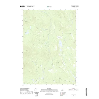
2021 Map of Dummer Ponds
USGS Topo · Published 2021About this map
Dummer Ponds and Trio Ponds anchor this high-elevation landscape in the North Country, where a complex network of forest roads and watercourses defines the terrain. The hydrological system is led by the southward flow of Phillips Brook and its various tributaries like W Br Phillips Brook and Number Two Brook. This 2021 survey illustrates a region shaped by timber and topography rather than dense settlement, with prominent peaks such as Whitcomb Mtn, Mt Patience, and Long Mtn surrounding the central basins.
Find a feature on this map
33 named features on this map. Tap any name to fly to it.
Don’t see what you’re looking for? This feature index may not catch every label — zoom into the map to look around manually.
Map Details
Editions of this 2021 Dummer Ponds Map
This is the sole edition of this map. No revisions or reprints were ever made.
Other maps of this area

1930 · Milan
USGS Topo · 1:62,500

1930 · Percy
USGS Topo · 1:62,500

1930 · Dixville
USGS Topo · 1:62,500

1930 · Errol
USGS Topo · 1:62,500

1933 · Dixville
USGS Topo · 1:62,500

1933 · Milan
USGS Topo · 1:62,500

1934 · Percy
USGS Topo · 1:62,500

1934 · Dixville
USGS Topo · 1:62,500

1934 · Errol
USGS Topo · 1:62,500

1934 · Milan
USGS Topo · 1:62,500