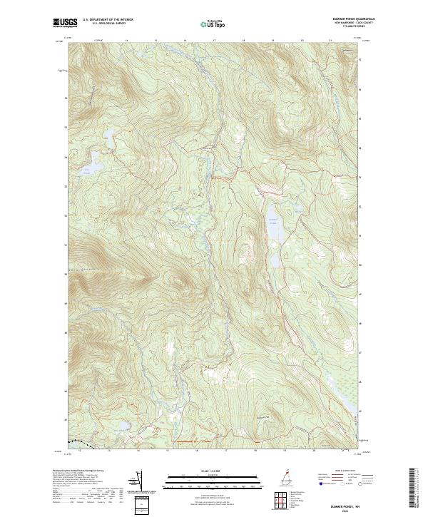
2024 Map of Dummer Ponds
USGS Topo · Published 2024About this map
Dummer Ponds and the surrounding high country of Coos County define this northern landscape, where water and timber routes dictate the local geography. The area is characterized by a network of drainage systems and isolated peaks, including Whitcomb Mountain and Long Mountain. Movement through this terrain relies on a series of specialized routes like Phillips Brook Rd and Dummer Pond Rd, which connect remote water bodies such as Trio Ponds and Mud Pond to the larger watershed.
Find a feature on this map
37 named features on this map. Tap any name to fly to it.
Don’t see what you’re looking for? This feature index may not catch every label — zoom into the map to look around manually.
Map Details
Editions of this 2024 Dummer Ponds Map
This is the sole edition of this map. No revisions or reprints were ever made.
Other maps of this area

1930 · Milan
USGS Topo · 1:62,500

1930 · Percy
USGS Topo · 1:62,500

1930 · Dixville
USGS Topo · 1:62,500

1930 · Errol
USGS Topo · 1:62,500

1933 · Dixville
USGS Topo · 1:62,500

1933 · Milan
USGS Topo · 1:62,500

1934 · Percy
USGS Topo · 1:62,500

1934 · Dixville
USGS Topo · 1:62,500

1934 · Errol
USGS Topo · 1:62,500

1934 · Milan
USGS Topo · 1:62,500