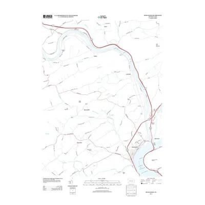
2013 Map of Duncannon
USGS Topo · Published 2013About this map
The Juniata River and Susquehanna River converge at this major geographical junction, shaping the development of Duncannon and its surrounding riverbank settlements. This landscape is defined by the heavy infrastructure of travel and transport, featuring the Juniata Bridge and Clarks Ferry Bridge crossing the wide waters near Duncan Island. The topography is marked by significant ridges like Dicks Ridge and the Half Falls Mountain, which force the road and rail networks into tight corridors along the riverbanks.
Find a feature on this map
106 named features on this map. Tap any name to fly to it.
Don’t see what you’re looking for? This feature index may not catch every label — zoom into the map to look around manually.
Map Details
Editions of this 2013 Duncannon Map
This is the sole edition of this map. No revisions or reprints were ever made.
Other maps of this area

1892 · Harrisburg
USGS Topo · 1:62,500

1893 · Millersburg
USGS Topo · 1:62,500

1899 · Harrisburg
USGS Topo · 1:62,500

1907 · New Bloomfield
USGS Topo · 1:62,500

1907 · Millerstown
USGS Topo · 1:62,500

1924 · Harrisburg
USGS Topo · 1:62,500

1943 · Millerstown
USGS Topo · 1:62,500

1943 · Millersburg
USGS Topo · 1:62,500

1943 · Harrisburg
USGS Topo · 1:62,500

1943 · New Bloomfield
USGS Topo · 1:62,500
Featured Places
- Wheatfield Township, PA
- Reed Township, PA
- Watts Township, PA
- Centre Township, PA
- Montebello, Wheatfield Township