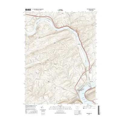
2016 Map of Duncannon
USGS Topo · Published 2016About this map
The confluence of the Juniata River and the Susquehanna River dominates this topographical portrait of Perry and Dauphin Counties. Duncannon sits at this vital river junction, where long-standing transportation corridors follow the water's edge, including the historic Towpath Rd. The landscape is defined by the rhythmic ridges of the Appalachians, with Mahanoy Ridge, Dicks Ridge, and Hickory Ridge carving the terrain into narrow valleys.
Find a feature on this map
89 named features on this map. Tap any name to fly to it.
Don’t see what you’re looking for? This feature index may not catch every label — zoom into the map to look around manually.
Map Details
Editions of this 2016 Duncannon Map
This is the sole edition of this map. No revisions or reprints were ever made.
Other maps of this area

1892 · Harrisburg
USGS Topo · 1:62,500

1893 · Millersburg
USGS Topo · 1:62,500

1899 · Harrisburg
USGS Topo · 1:62,500

1907 · New Bloomfield
USGS Topo · 1:62,500

1907 · Millerstown
USGS Topo · 1:62,500

1924 · Harrisburg
USGS Topo · 1:62,500

1943 · Millerstown
USGS Topo · 1:62,500

1943 · Millersburg
USGS Topo · 1:62,500

1943 · Harrisburg
USGS Topo · 1:62,500

1943 · New Bloomfield
USGS Topo · 1:62,500
Featured Places
- Wheatfield Township, PA
- Reed Township, PA
- Watts Township, PA
- Centre Township, PA
- Montebello, Wheatfield Township