2023 Map of Duncannon
USGS Topo · Published 2023About this map
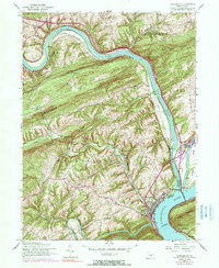
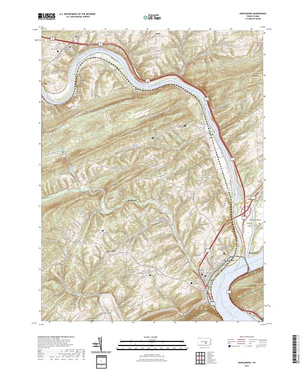
The confluence of the Juniata River and the Susquehanna River defines this riverine landscape, where the ridges of the Appalachian chain create a series of narrow water gaps. The town of Duncannon sits at this strategic junction, serving as a gateway for both the Juniata River Water Trail and the Appalachian National Scenic Trail. The map reveals a densely layered history of land use, from the expansive river islands like Haldeman Island and Duncan Island to the numerous family and community burial sites scattered throughout the uplands, such as the Watts Burial Ground and the Montebello Farm Burial Ground.
Find a feature on this map
103 named features on this map. Tap any name to fly to it.
Don’t see what you’re looking for? This feature index may not catch every label — zoom into the map to look around manually.
Map Details
Editions of this 2023 Duncannon Map
This is the sole edition of this map. No revisions or reprints were ever made.