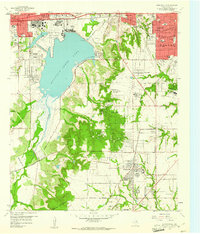
1959 Map of Duncanville
USGS Topo · Published 1961About this map
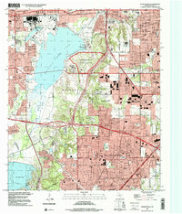
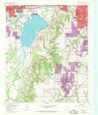
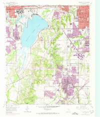
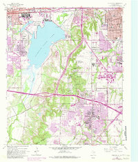
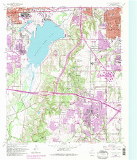
The Dallas Naval Air Station (Hensley Field) dominates the northern landscape of this 1959 survey, marking a period of intense mid-century military and industrial activity southwest of Dallas. The expansive Mountain Creek Lake serves as a central geographical anchor, flanked by the Mountain Creek Power Plant and the developing suburban clusters of Lakeland Heights and Lakeview. Further south, the town of Duncanville is shown just before its era of rapid expansion, still separated by open terrain and significant institutional footprints like the Duncanville Air Force Sta.
Find a feature on this map
70 named features on this map. Tap any name to fly to it.
Don’t see what you’re looking for? This feature index may not catch every label — zoom into the map to look around manually.
Map Details
Editions of this 1959 Duncanville Map
6 editions found
Historical Maps of Dallas Through Time
3 maps found