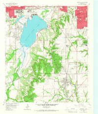
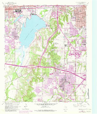
1959 Map of Duncanville
USGS Topo · Published 1966About this map
Dallas Naval Air Station (Hensley Field) dominates the northern landscape of this 1959 survey, situated on the banks of Mountain Creek Lake. This era shows the suburban expansion of Dallas County in full motion, with the city limits of Dallas, Grand Prairie, and Duncanville beginning to converge. The presence of the Mountain Creek Power Plant and the Duncanville Air Force Sta highlights the strategic and industrial importance of the corridor between these growing municipalities.
Find a feature on this map
63 named features on this map. Tap any name to fly to it.
Don’t see what you’re looking for? This feature index may not catch every label — zoom into the map to look around manually.
Map Details
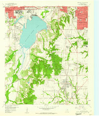
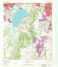
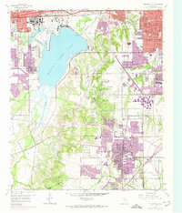
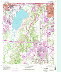
Editions of this 1959 Duncanville Map
6 editions found
Other maps of this area

1891 · Dallas
USGS Topo · 1:125,000

1893 · Dallas
USGS Topo · 1:125,000

1894 · Fort Worth
USGS Topo · 1:125,000

1931 · Carrollton
USGS Topo · 1:62,500

1931 · Grapevine
USGS Topo · 1:62,500

1954 · Dallas
USGS Topo · 1:250,000

1958 · Dallas
USGS Topo · 1:250,000

1958 · Oak Cliff
USGS Topo · 1:24,000

1958 · Dallas
USGS Topo · 1:24,000

1959 · Arlington
USGS Topo · 1:24,000