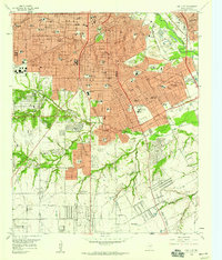
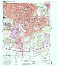
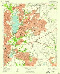
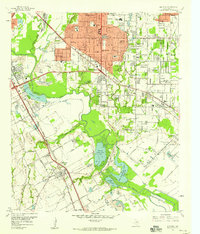
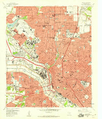
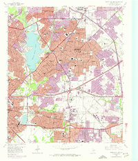
1958 Map of Oak Cliff
USGS Topo · Published 1959About this map
The Oak Cliff section of Dallas is shown in a period of significant mid-century expansion, where dense residential blocks give way to undeveloped hills and gravel operations in the south. The map documents an area defined by the Trinity River and its tributaries, including Fivemile Creek and Coombs Creek. Key institutional landmarks such as the Veterans Hospital and St Joseph Home for Girls anchor the community, alongside numerous neighborhood campuses like Adamson High Sch and Stockard Jr High Sch.
Find a feature on this map
95 named features on this map. Tap any name to fly to it.
Don’t see what you’re looking for? This feature index may not catch every label — zoom into the map to look around manually.
Map Details
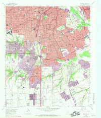
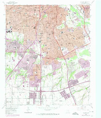
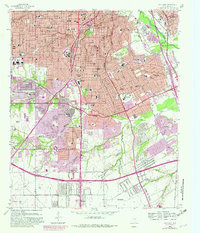
Editions of this 1958 Oak Cliff Map
5 editions found
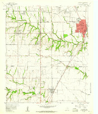
Other maps of this area

1891 · Dallas
USGS Topo · 1:125,000

1893 · Dallas
USGS Topo · 1:125,000

1931 · Carrollton
USGS Topo · 1:62,500

1954 · Dallas
USGS Topo · 1:250,000
1957 · White Rock Lake
USGS Topo · 1:24,000

1958 · Dallas
USGS Topo · 1:250,000
1958 · Hutchins
USGS Topo · 1:24,000
1958 · Dallas
USGS Topo · 1:24,000
1958 · White Rock Lake
USGS Topo · 1:24,000
1959 · Lancaster
USGS Topo · 1:24,000