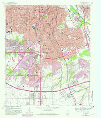
1958 Map of Oak Cliff
USGS Topo · Published 1982About this map
Oak Cliff and its surrounding neighborhoods represent a transformative period for southern Dallas as post-war suburban growth met the city's industrial and transportation corridors. The map records the expansion of residential tracts like Wynnewood and Fruitdale alongside established landmarks such as Sunset High Sch and Kiest Park. The presence of the Veterans Hospital and the sprawling Laurel Land Memorial Park (Cemetery) provide clear anchors for local history research. A heavy network of rail lines, including the Atchison Topeka and Santa Fe and Southern Pacific, cuts through the terrain, illustrating the city's reliance on freight. To the south, the landscape shifts toward the less-developed areas near Wheatland and the Lancaster City Boundary, where Fivemile Creek and Tenmile Creek drain the rising topography before reaching the Trinity River lowlands.
Find a feature on this map
77 named features on this map. Tap any name to fly to it.
Don’t see what you’re looking for? This feature index may not catch every label — zoom into the map to look around manually.
Map Details
Editions of this 1958 Oak Cliff Map
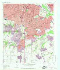
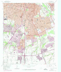
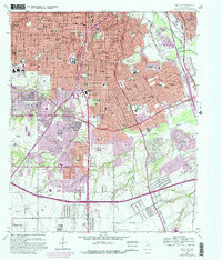
5 editions found
Other maps of this area

1891 · Dallas
USGS Topo · 1:125,000

1893 · Dallas
USGS Topo · 1:125,000

1931 · Carrollton
USGS Topo · 1:62,500

1954 · Dallas
USGS Topo · 1:250,000

1957 · White Rock Lake
USGS Topo · 1:24,000

1958 · Dallas
USGS Topo · 1:250,000

1958 · Hutchins
USGS Topo · 1:24,000

1958 · Oak Cliff
USGS Topo · 1:24,000

1958 · Dallas
USGS Topo · 1:24,000

1958 · White Rock Lake
USGS Topo · 1:24,000