
1958 Map of Hutchins
USGS Topo · Published 1959About this map
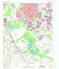
The Trinity River and its expansive floodplain anchor this survey of the southeastern edges of Dallas, showing the transition from urban expansion to river-bottom recreation and industrial institutional land. Along the river's winding course, private sporting preserves such as the Fin and Feather Club Lake and the Dallas Hunting and Fishing Club Lake dominate the lowlands. To the south, the Hutchins Boys Industrial School and the town of Hutchins sit near the Kansas City Southern and Texas and New Orleans railroads, while local education is represented by facilities like the Morning School and Burleson School.
Find a feature on this map
80 named features on this map. Tap any name to fly to it.
Don’t see what you’re looking for? This feature index may not catch every label — zoom into the map to look around manually.
Map Details
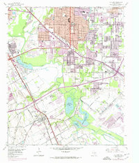
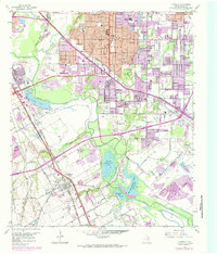
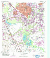
Editions of this 1958 Hutchins Map
5 editions found
Other maps of this area

1891 · Dallas
USGS Topo · 1:125,000

1893 · Dallas
USGS Topo · 1:125,000

1931 · Carrollton
USGS Topo · 1:62,500

1954 · Dallas
USGS Topo · 1:250,000

1957 · White Rock Lake
USGS Topo · 1:24,000

1958 · Dallas
USGS Topo · 1:250,000

1958 · Oak Cliff
USGS Topo · 1:24,000

1958 · Dallas
USGS Topo · 1:24,000

1958 · White Rock Lake
USGS Topo · 1:24,000

1959 · Lancaster
USGS Topo · 1:24,000