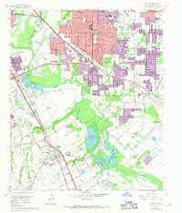
1958 Map of Hutchins
USGS Topo · Published 1969About this map
Hutchins and the surrounding Dallas County landscape are defined by the winding course of the Trinity River and a dense network of mid-century infrastructure. This survey captures a period of significant urban expansion, indicated by the purple-tinted growth of residential developments such as Home Gardens, Grove Haven, and Rylie encroaching upon former agricultural and industrial lands. Along the river's floodplain, the terrain is marked by recreational landmarks like the Dallas Hunting and Fishing Club Lake and Fin and Feather Club Lake, while the uplands are dotted with numerous community institutions including Bethany Ch, Bethel Hill Ch, and the Hutchins Boys Industrial School. The presence of multiple major railroads, such as the Southern Pacific and Missouri Kansas Texas, underscores the area's role as a transportation corridor connecting the industrial outskirts of Dallas to the rural south.
Find a feature on this map
75 named features on this map. Tap any name to fly to it.
Don’t see what you’re looking for? This feature index may not catch every label — zoom into the map to look around manually.
Map Details
Editions of this 1958 Hutchins Map
5 editions found
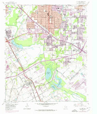
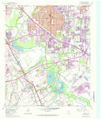
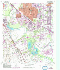
Other maps of this area

1891 · Dallas
USGS Topo · 1:125,000

1893 · Dallas
USGS Topo · 1:125,000

1931 · Carrollton
USGS Topo · 1:62,500

1954 · Dallas
USGS Topo · 1:250,000

1957 · White Rock Lake
USGS Topo · 1:24,000

1958 · Dallas
USGS Topo · 1:250,000

1958 · Hutchins
USGS Topo · 1:24,000

1958 · Oak Cliff
USGS Topo · 1:24,000

1958 · Dallas
USGS Topo · 1:24,000

1958 · White Rock Lake
USGS Topo · 1:24,000