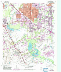
1958 Map of Hutchins
USGS Topo · Published 1992About this map
Dallas and its southeast suburbs show significant expansion across the Trinity River bottomlands in this mid-century period. The landscape is a mix of established residential pockets like Home Gardens and emerging municipal infrastructure, including the Hutchins Sewage Disposal and several large recreational water bodies such as Fin and Feather Club Lake. Notable institutions like Bishop College and the Hutchins Boys Industrial School are anchored south of Fivemile Creek, while the northern section is densely packed with community landmarks like Samuel High Sch and Pleasant Mound Ch. A complex web of transit, including the Southern Pacific RR and Central Expressway, illustrates the industrial and commuter connectivity that fueled the growth of Hutchins, Kleberg, and Balch Springs.
Find a feature on this map
90 named features on this map. Tap any name to fly to it.
Don’t see what you’re looking for? This feature index may not catch every label — zoom into the map to look around manually.
Map Details
Editions of this 1958 Hutchins Map
5 editions found
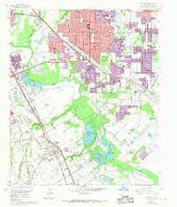
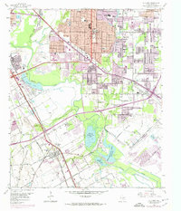
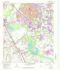
Other maps of this area

1891 · Dallas
USGS Topo · 1:125,000

1893 · Dallas
USGS Topo · 1:125,000

1931 · Carrollton
USGS Topo · 1:62,500

1954 · Dallas
USGS Topo · 1:250,000

1957 · White Rock Lake
USGS Topo · 1:24,000

1958 · Dallas
USGS Topo · 1:250,000

1958 · Hutchins
USGS Topo · 1:24,000

1958 · Oak Cliff
USGS Topo · 1:24,000

1958 · Dallas
USGS Topo · 1:24,000

1958 · White Rock Lake
USGS Topo · 1:24,000