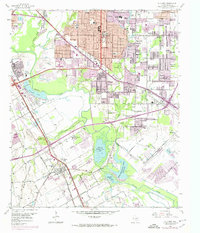
1958 Map of Hutchins
USGS Topo · Published 1974About this map
The Trinity River and its major tributaries, including Fivemile Creek and White Rock Creek, dictate the geography of this corridor south of Dallas. The landscape shows a mix of rapidly encroaching post-war urban sprawl and the established institutional and recreational sites that defined the area's mid-century character. Notable among these are the Lincoln Memorial Park and the specialized Hutchins Boys Industrial School. The region's social life is evident through numerous private water features such as the Fin and Feather Club Lake, Lancaster Club Lake, and the Dallas Hunting and Fishing Club Lake. To the north, residential expansion in Balch Springs and Mesquite contrasts with the industrial activity of multiple Strip Mines and Gravel Pits concentrated along the riverbanks, reflecting the region's reliance on both manufacturing and resource extraction as it transitioned into a metropolitan hub.
Find a feature on this map
73 named features on this map. Tap any name to fly to it.
Don’t see what you’re looking for? This feature index may not catch every label — zoom into the map to look around manually.
Map Details
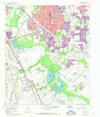
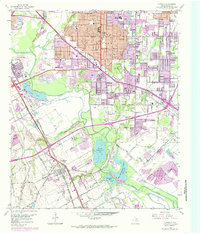
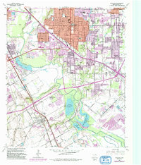
Editions of this 1958 Hutchins Map
5 editions found
Other maps of this area

1891 · Dallas
USGS Topo · 1:125,000

1893 · Dallas
USGS Topo · 1:125,000

1931 · Carrollton
USGS Topo · 1:62,500

1954 · Dallas
USGS Topo · 1:250,000

1957 · White Rock Lake
USGS Topo · 1:24,000

1958 · Dallas
USGS Topo · 1:250,000

1958 · Hutchins
USGS Topo · 1:24,000

1958 · Oak Cliff
USGS Topo · 1:24,000

1958 · Dallas
USGS Topo · 1:24,000

1958 · White Rock Lake
USGS Topo · 1:24,000