
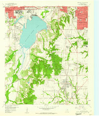
1959 Map of Lancaster
USGS Topo · Published 1960About this map
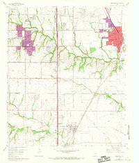
Lancaster and De Soto anchor this landscape just south of the Dallas city boundary, during an era of transition from rural acreage to suburban development. The topography is defined by the deep incisions of Tenmile Creek and Bear Creek, which create complex drainage patterns across the terrain. For genealogists and local historians, the sheet identifies several important cultural sites, including the Rawlins Cem and Vincent Cem, as well as numerous country congregations like the Beckley City Chapel and Clover Haven Ch. The influence of the Missouri Kansas Texas Railroad is evident as it cuts through the eastern portion of the quadrangle, serving the settlements of Lancaster and Red Oak. The map also documents specific social landmarks of the late 1950s, from the Reunion Grounds near De Soto to the localized industrial presence of multiple Gravel Pits concentrated near the northern boundary.
Find a feature on this map
44 named features on this map. Tap any name to fly to it.
Don’t see what you’re looking for? This feature index may not catch every label — zoom into the map to look around manually.
Map Details
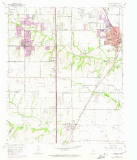
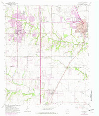
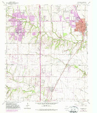
Editions of this 1959 Lancaster Map
5 editions found
Other maps of this area

1891 · Dallas
USGS Topo · 1:125,000

1893 · Dallas
USGS Topo · 1:125,000

1954 · Dallas
USGS Topo · 1:250,000

1956 · Ennis
USGS Topo · 1:62,500

1958 · Dallas
USGS Topo · 1:250,000

1958 · Hutchins
USGS Topo · 1:24,000

1958 · Oak Cliff
USGS Topo · 1:24,000

1959 · Cedar Hill
USGS Topo · 1:24,000

1959 · Ferris
USGS Topo · 1:24,000
1959 · Duncanville
USGS Topo · 1:24,000