Loading...
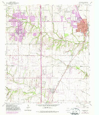
Loading map...1959 Map of Lancaster
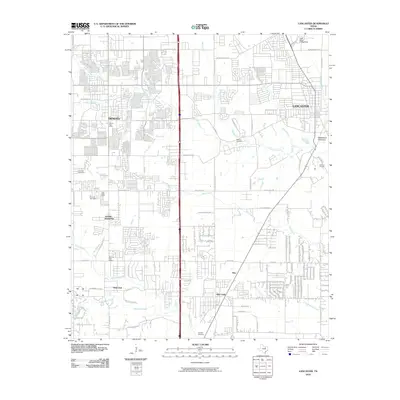
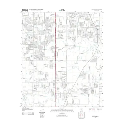
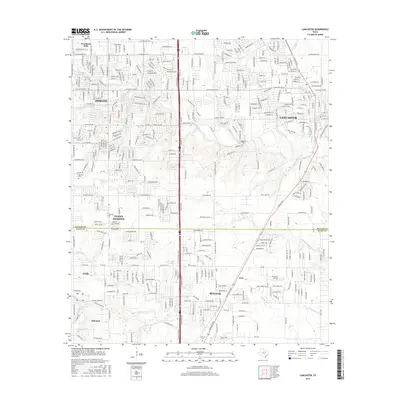
USGS Topo · Published 1982About this map
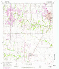
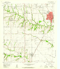
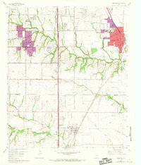
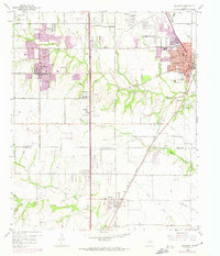
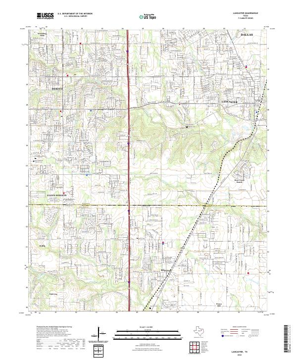
Lancaster and De Soto anchor this study of the southern Dallas County landscape, where the rolling prairies meet the northern edge of Ellis County. The map documents a period of significant suburban expansion, highlighted by purple tinting that extends the original 1959 footings of Woodland Hills and Glenn Heights. This growth is constrained by the drainage networks of Tenmile Creek and Red Oak Creek, which create natural corridors of woodland amidst the advancing residential tracts.
Find a feature on this map
45 named features on this map. Tap any name to fly to it.
Don’t see what you’re looking for? This feature index may not catch every label — zoom into the map to look around manually.
Map Details
Date Portrayed1959
Date Published1982
PublisherU.S. Geological Survey
Map TypeTopographic
Scale1:24,000
Physical Dimensions23 x 26.9 inches
Editions of this 1959 Lancaster Map
5 editions found
Historical Maps of Dallas Through Time
6 maps found
Featured Locations
Source Details
SourceU.S. Geological Survey
CopyrightPublic Domain