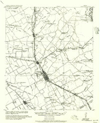
1956 Map of Ennis
USGS Topo · Published 1956About this map
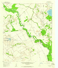
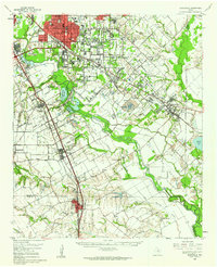
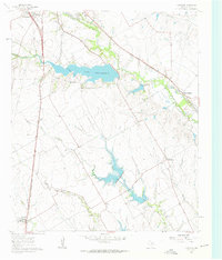
Ennis P.O. serves as the central hub of this agricultural landscape, where the Houston and Texas Central Railroad and Texas Midland Railroad converge. Compiled from surveys conducted between 1912 and 1919, the map reveals a high density of rural institutions that once anchored these blackland prairie communities, including the curiously named Ghost School near Trumbull P.O. and the Grange Hall School situated near the headwaters of a branch of Smith Creek.
Find a feature on this map
63 named features on this map. Tap any name to fly to it.
Don’t see what you’re looking for? This feature index may not catch every label — zoom into the map to look around manually.
Map Details
Editions of this 1956 Ennis Map
This is the sole edition of this map. No revisions or reprints were ever made.
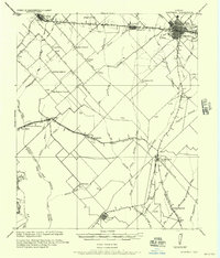
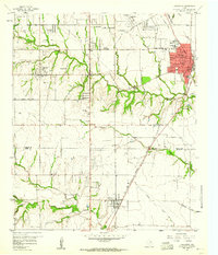
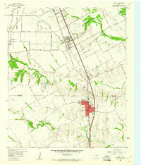
Other maps of this area

1891 · Dallas
USGS Topo · 1:125,000

1893 · Dallas
USGS Topo · 1:125,000

1954 · Dallas
USGS Topo · 1:250,000
1956 · Kaufman
USGS Topo · 1:62,500

1958 · Dallas
USGS Topo · 1:250,000
1959 · Lancaster
USGS Topo · 1:24,000
1959 · Ferris
USGS Topo · 1:24,000
1959 · India
USGS Topo · 1:24,000
1959 · Seagoville
USGS Topo · 1:62,500
1961 · Forreston
USGS Topo · 1:24,000