
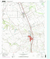
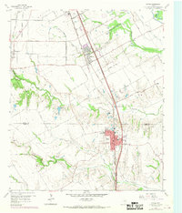
1959 Map of Ferris
USGS Topo · Published 1960About this map
Ferris and Wilmer anchor this late 1950s survey of the north-central Texas landscape, where the Texas and New Orleans Railroad corridor dictates the alignment of local growth. The map captures a transition from agrarian roots to suburban proximity, notably marked by the inclusion of the Dunbar High School and Ferris Park Cemetery. The drainage of Tenmile Creek and Bear Creek defines the local topography, while scattered Gravel Pits suggest the area's ongoing industrial extraction.
Find a feature on this map
60 named features on this map. Tap any name to fly to it.
Don’t see what you’re looking for? This feature index may not catch every label — zoom into the map to look around manually.
Map Details
Editions of this 1959 Ferris Map
Other maps of this area

1891 · Dallas
USGS Topo · 1:125,000

1893 · Dallas
USGS Topo · 1:125,000

1954 · Dallas
USGS Topo · 1:250,000

1956 · Ennis
USGS Topo · 1:62,500

1958 · Dallas
USGS Topo · 1:250,000

1958 · Hutchins
USGS Topo · 1:24,000

1958 · Oak Cliff
USGS Topo · 1:24,000

1959 · Lancaster
USGS Topo · 1:24,000

1959 · Seagoville
USGS Topo · 1:24,000

1959 · India
USGS Topo · 1:24,000