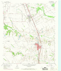
1959 Map of Ferris
USGS Topo · Published 1969About this map
Southern Pacific RR tracks define the North-South industrial corridor of this North Texas landscape, connecting the growing hubs of Wilmer and Ferris. As of the late 1950s, this area at the border of Dallas and Ellis Counties shows a transition from agricultural land to established townships. The importance of local education and community history is visible through sites like Dunbar High Sch and Rocky Crest Sch, alongside multiple burial grounds such as Edgewood Cemetery and Ferris Park Cem.
Find a feature on this map
55 named features on this map. Tap any name to fly to it.
Don’t see what you’re looking for? This feature index may not catch every label — zoom into the map to look around manually.
Map Details
Editions of this 1959 Ferris Map
Other maps of this area

1891 · Dallas
USGS Topo · 1:125,000

1893 · Dallas
USGS Topo · 1:125,000

1954 · Dallas
USGS Topo · 1:250,000

1956 · Ennis
USGS Topo · 1:62,500

1958 · Dallas
USGS Topo · 1:250,000

1958 · Hutchins
USGS Topo · 1:24,000

1958 · Oak Cliff
USGS Topo · 1:24,000

1959 · Lancaster
USGS Topo · 1:24,000

1959 · Seagoville
USGS Topo · 1:24,000

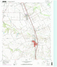
1959 · Ferris
USGS Topo · 1:24,000