Loading...
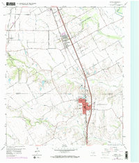
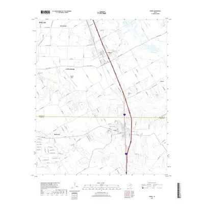
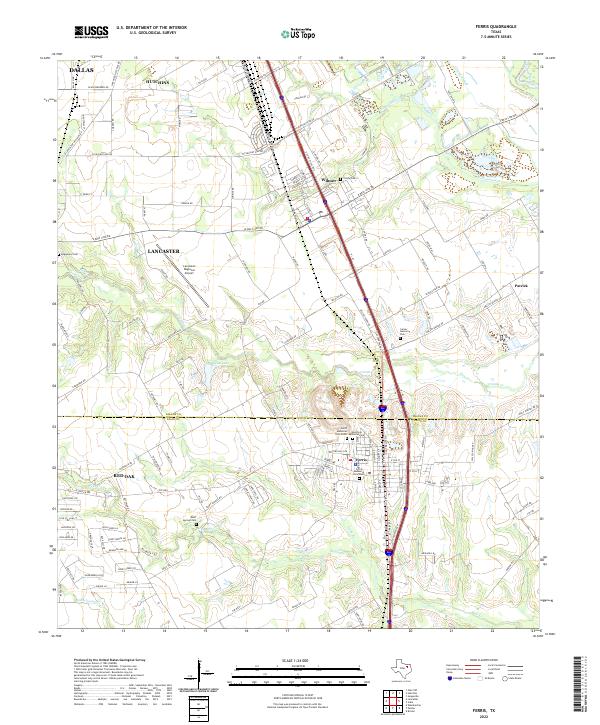
Loading map...1959 Map of Ferris
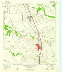
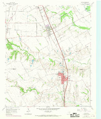
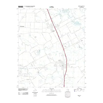
USGS Topo · Published 1969About this map
The Southern Pacific RR and the Missouri - Kansas - Texas RR define the industrial corridor through the Dallas and Ellis County borderlands in the late 1950s. The town of Ferris is a focal point of activity, anchored by brick-making resources like the nearby Clay Pit and educational centers such as Dunbar High Sch. To the north, the smaller settlement of Wilmer sits along the rail lines, while the private Dufek Airstrip and numerous Gravel Pits suggest a landscape balancing aviation, transport, and resource extraction.
Find a feature on this map
50 named features on this map. Tap any name to fly to it.
Don’t see what you’re looking for? This feature index may not catch every label — zoom into the map to look around manually.
Map Details
Date Portrayed1959
Date Published1969
PublisherU.S. Geological Survey
Map TypeTopographic
Scale1:24,000
Physical Dimensions23 x 27 inches
Editions of this 1959 Ferris Map
Historical Maps of Dallas Through Time
6 maps found
Featured Locations
Source Details
SourceU.S. Geological Survey
CopyrightPublic Domain