1959 Map of India
USGS Topo · Published 1960About this map
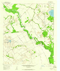
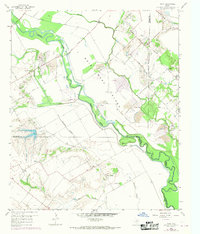
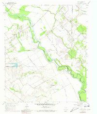
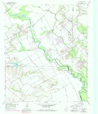
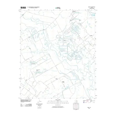
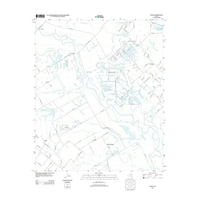
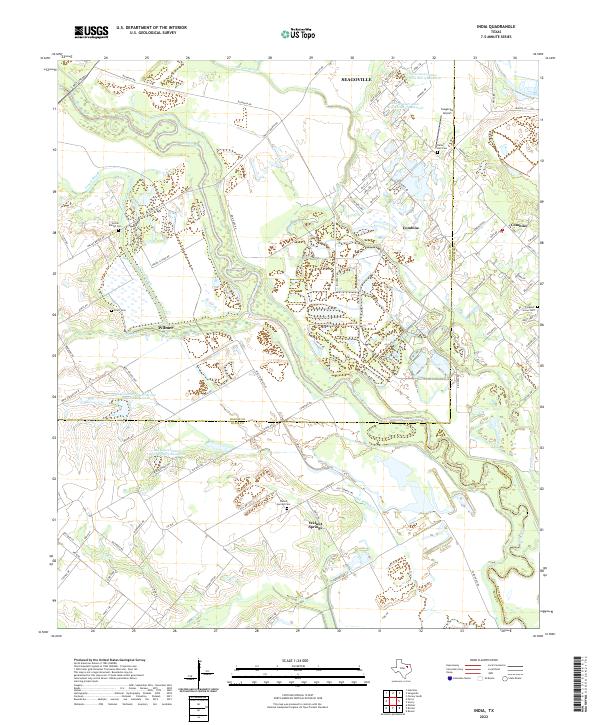
Bois D'Arc Island dominates this 1950s landscape, carved out by the meandering curves of the Trinity River and the sweeping arc of Parsons Slough. The area sits at a complex jurisdictional junction where Dallas, Ellis, and Kaufman Counties meet. The settlement of India occupies the southwest, characterized by a series of family-named landmarks and rural infrastructure including the Walnut Springs Cem and nearby Walnut Springs.
Find a feature on this map
39 named features on this map. Tap any name to fly to it.
Don’t see what you’re looking for? This feature index may not catch every label — zoom into the map to look around manually.
Map Details
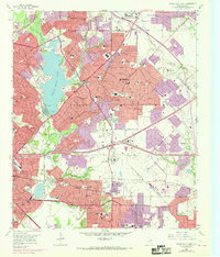
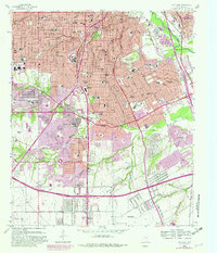
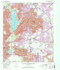
Editions of this 1959 India Map
4 editions found
Historical Maps of Seagoville Through Time
23 maps found
1925 Dallas 2-b
Dallas County, TX
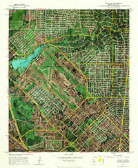
1957 White Rock Lake
Dallas County, TX
1958 Oak Cliff
Dallas County, TX
1958 White Rock Lake
Dallas County, TX
1959 India
Dallas County, TX
1968 Dallas (A)
Dallas County, TX
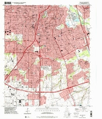
1995 Oak Cliff
Dallas County, TX
1995 White Rock Lake
Dallas County, TX
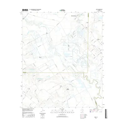
2010 India
Dallas County, TX

2010 Oak Cliff
Dallas County, TX

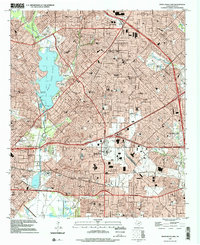
2010 White Rock Lake
Dallas County, TX
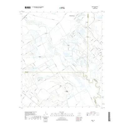
2012 India
Dallas County, TX

2012 Oak Cliff
Dallas County, TX

2012 White Rock Lake
Dallas County, TX
2016 India
Dallas County, TX

2016 Oak Cliff
Dallas County, TX

2016 White Rock Lake
Dallas County, TX
2019 India
Dallas County, TX
2019 Oak Cliff
Dallas County, TX

2019 White Rock Lake
Dallas County, TX
2022 India
Dallas County, TX

2022 Oak Cliff
Dallas County, TX

2022 White Rock Lake
Dallas County, TX