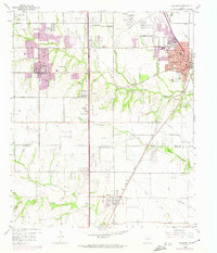
1959 Map of Lancaster
USGS Topo · Published 1974About this map
Lancaster and De Soto anchors this detailed survey of southern Dallas County and northern Ellis County during a period of rapid suburban expansion. The 1974 revisions, highlighted in purple, show the northward spread of residential developments toward Woodland Hills and the thickening of the urban fabric along Belt Line Road. Despite this growth, the landscape retains many of its rural foundations, with several country churches and family-named cemeteries marking the hills above Tenmile Creek. The southern portion of the map remains largely agricultural, centered on the settlement of Red Oak and the small siding at Elva.
Find a feature on this map
47 named features on this map. Tap any name to fly to it.
Don’t see what you’re looking for? This feature index may not catch every label — zoom into the map to look around manually.
Map Details
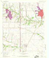
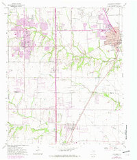
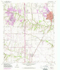
Editions of this 1959 Lancaster Map
5 editions found
Other maps of this area

1891 · Dallas
USGS Topo · 1:125,000

1893 · Dallas
USGS Topo · 1:125,000

1954 · Dallas
USGS Topo · 1:250,000

1956 · Ennis
USGS Topo · 1:62,500

1958 · Dallas
USGS Topo · 1:250,000

1958 · Hutchins
USGS Topo · 1:24,000

1958 · Oak Cliff
USGS Topo · 1:24,000

1959 · Lancaster
USGS Topo · 1:24,000

1959 · Cedar Hill
USGS Topo · 1:24,000

1959 · Ferris
USGS Topo · 1:24,000