
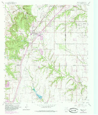
1959 Map of Cedar Hill
USGS Topo · Published 1960About this map
The Gulf Colorado and Santa Fe railroad serves as the primary corridor for growth in the late 1950s, cutting diagonally through Cedar Hill and the surrounding prairie. This area, marking the boundary between Dallas and Ellis counties, reveals a transitional landscape where early agriculture and rural encampments meet post-war expansion. Local social life is anchored by community landmarks such as Camp Ellowi, Camp Tammi Habi, and the Mount Lebanon Encampment, reflecting a region significant for youth and religious retreats. To the south, the settlement of Ovilla and the Shiloh Cumberland Church maintain a traditional rural character along the winding course of Red Oak Creek. The map also records the early reach of Dallas media, noting the presence of the Wfaa and Krld television towers on the high ground near the escarpment.
Find a feature on this map
49 named features on this map. Tap any name to fly to it.
Don’t see what you’re looking for? This feature index may not catch every label — zoom into the map to look around manually.
Map Details
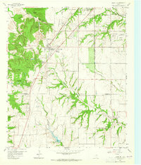
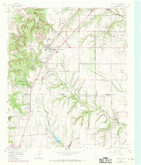
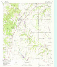
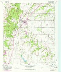
Editions of this 1959 Cedar Hill Map
6 editions found
Other maps of this area

1891 · Dallas
USGS Topo · 1:125,000

1891 · Cleburne
USGS Topo · 1:125,000

1893 · Dallas
USGS Topo · 1:125,000

1894 · Cleburne
USGS Topo · 1:125,000

1894 · Fort Worth
USGS Topo · 1:125,000

1954 · Dallas
USGS Topo · 1:250,000

1958 · Dallas
USGS Topo · 1:250,000

1958 · Oak Cliff
USGS Topo · 1:24,000

1959 · Arlington
USGS Topo · 1:24,000

1959 · Lancaster
USGS Topo · 1:24,000