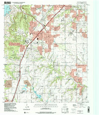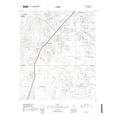
1959 Map of Cedar Hill
USGS Topo · Published 1974About this map
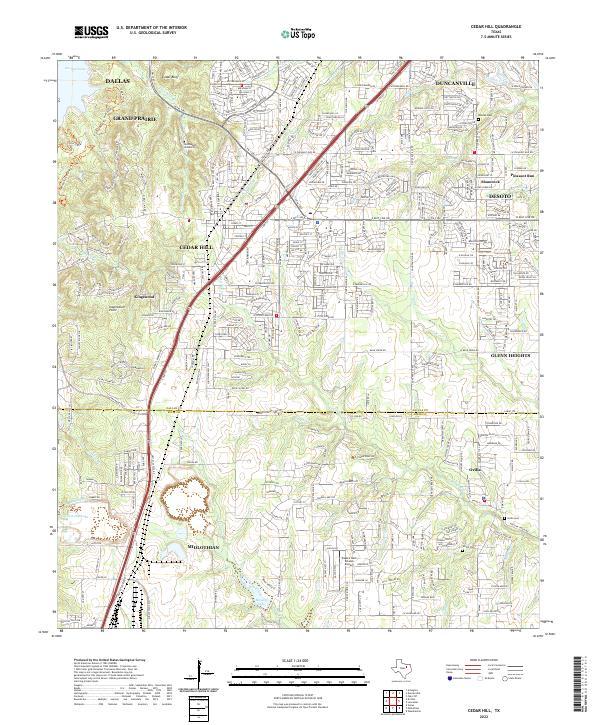
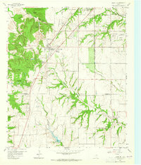
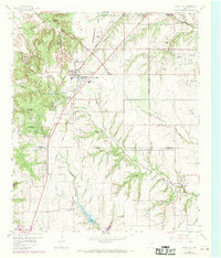
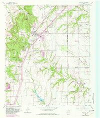
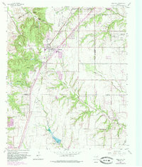
Cedar Hill sits atop the dramatic limestone escarpment of southwest Dallas County, overlooking a landscape defined by sharp elevation changes and winding creeks. During the mid-20th century, this area transitioned from a rural agricultural community into a growing suburban outpost, anchored by the Santa Fe railroad line. The map reveals a cluster of specialized retreats and summer camps taking advantage of the high ground, including Camp Ellowi, the Mount Lebanon Encampment, and the Cedar Hill Bible Camp. To the south, the settlement of Ovilla marks the transition into Ellis County, surrounded by small family cemeteries such as Rhodes Cem and Shiloh Cem. The drainage patterns of Red Oak Creek and Tenmile Creek dominate the topography, while the arrival of the (WFAA) (KRLD) TV Tower signifies the region's increasing importance as a communications hub for the North Texas region.
Find a feature on this map
60 named features on this map. Tap any name to fly to it.
Don’t see what you’re looking for? This feature index may not catch every label — zoom into the map to look around manually.
Map Details
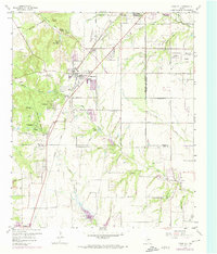
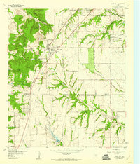
Editions of this 1959 Cedar Hill Map
6 editions found
Historical Maps of Dallas Through Time
7 maps found