
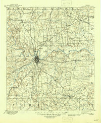
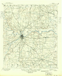
1894 Map of Fort Worth
USGS Topo · Published 1918About this map
Camp Bowie is prominently outlined in red west of the Fort Worth city center, signaling the mobilization era during the First World War when this 1894 edition was reprinted for military use. The landscape is defined by the convergence of the West Fork Trinity River and the Clear Fork of Trinity River, which dictate the placement of early settlements and the heavy rail infrastructure that transformed the region into a major transit hub.
Find a feature on this map
74 named features on this map. Tap any name to fly to it.
Don’t see what you’re looking for? This feature index may not catch every label — zoom into the map to look around manually.
Map Details
Editions of this 1894 Fort Worth Map
3 editions found
Other maps of this area

1889 · Granbury
USGS Topo · 1:125,000

1891 · Weatherford
USGS Topo · 1:125,000

1891 · Dallas
USGS Topo · 1:125,000

1891 · Cleburne
USGS Topo · 1:125,000

1893 · Dallas
USGS Topo · 1:125,000

1893 · Weatherford
USGS Topo · 1:125,000

1894 · Cleburne
USGS Topo · 1:125,000

1924 · Sunset 4-d
USGS Topo · 1:48,000

1925 · Mc Kinney 3-c
USGS Topo · 1:48,000

1925 · Dallas 2-b
USGS Topo · 1:48,000