
1925 Map of Mc Kinney 3-c
USGS Topo · Published 1925About this map
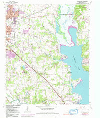
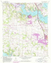
Lewisville serves as a focal point in this 1925 survey, situated near the confluence of several vital waterways including Hickory Creek and the Elm Fork Trinity River. The landscape reflects a transition toward modernization with the presence of the Dallas-Denton Texas Electric Co line and the Missouri Kansas and Texas railroad, which provided essential links for the local agrarian economy. This sheet is notable for its documentation of the "Proposed" Lake Dallas and the accompanying Dam, illustrating a critical moment in regional water management.
Find a feature on this map
30 named features on this map. Tap any name to fly to it.
Don’t see what you’re looking for? This feature index may not catch every label — zoom into the map to look around manually.
Map Details
Editions of this 1925 Mc Kinney 3-c Map
This is the sole edition of this map. No revisions or reprints were ever made.
Historical Maps of Frisco Through Time
13 maps found
1925 Mc Kinney 3-c
Denton County, TX
1960 Denton East
Denton County, TX
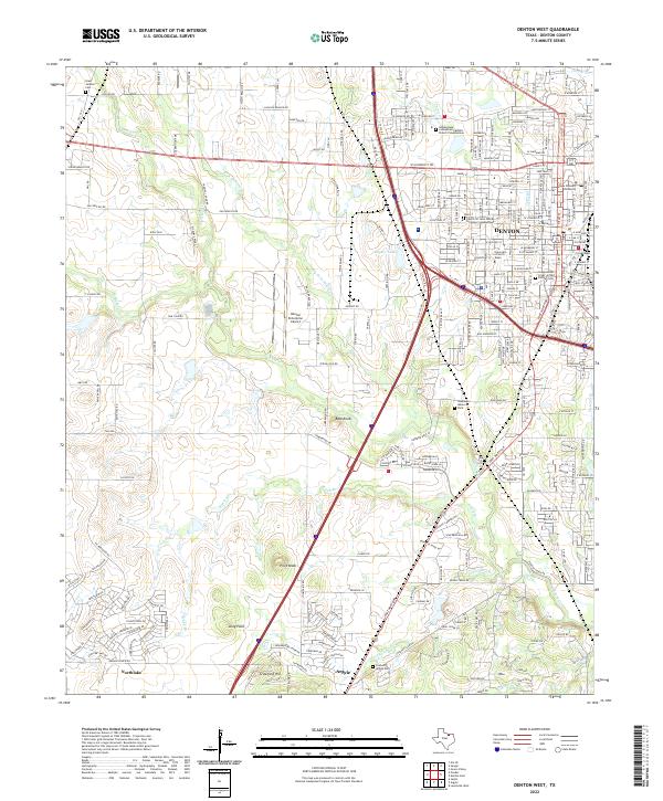
1960 Denton West
Denton County, TX
1960 Green Valley
Denton County, TX
1960 Lewisville East
Denton County, TX
1960 Lewisville West
Denton County, TX
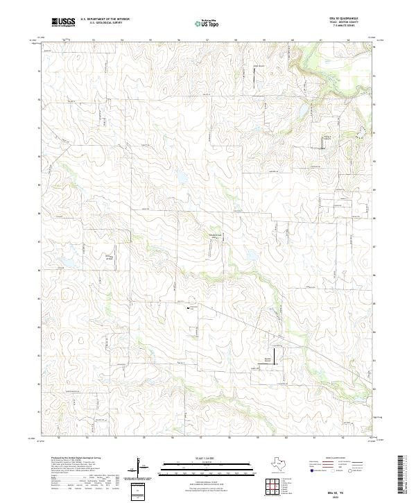
1961 Era SE
Denton County, TX

2022 Denton East
Denton County, TX
2022 Denton West
Denton County, TX
2022 Era SE
Denton County, TX
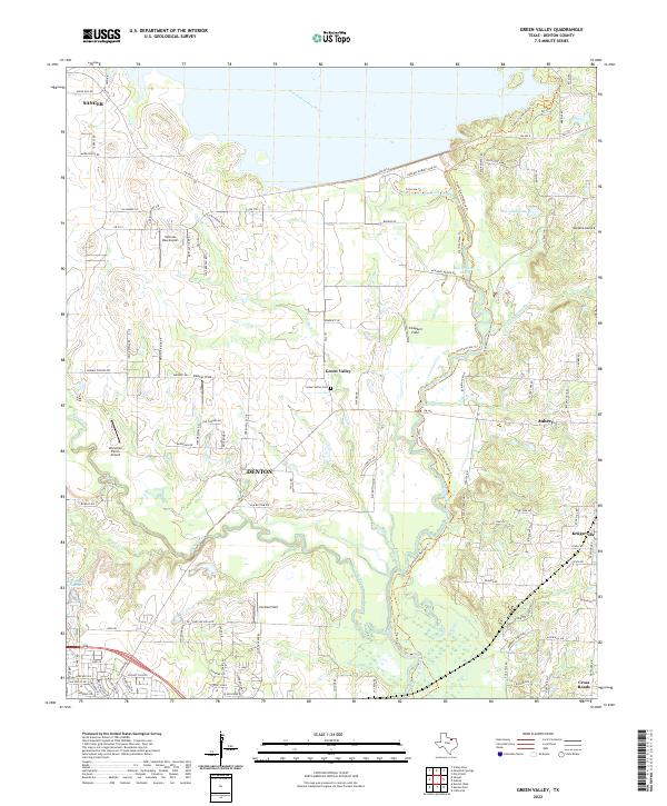
2022 Green Valley
Denton County, TX

2022 Lewisville East
Denton County, TX

2022 Lewisville West
Denton County, TX