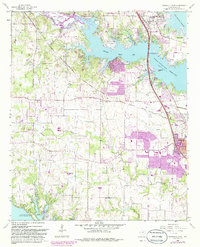
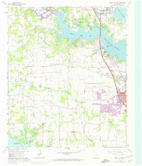
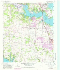
1960 Map of Lewisville West
USGS Topo · Published 1986About this map
Garza-Little Elm Reservoir and Grapevine Lake dominate the northern and southern reaches of this Denton County landscape, illustrating the mid-century transformation of the Texas countryside through large-scale water management. The massive Lewisville Dam secures the eastern edge, where the Hickory Creek Arm meets the expanding urban boundaries of Lewisville. Cultural and genealogical history is anchored by several rural landmarks, including Chinn Chapel and the nearby Chinn Cem, alongside the Soroptimist (Crippled Childrens Camp) located near Copper Canyon. The transport network of the era is defined by the crossing of the Atchison Topeka and Santa Fe and the Missouri-Kansas-Texas railroads. Revisions from 1978, shown in purple, reveal the rapid residential growth in Highland Village and Flower Mound, where early road networks began to replace former agricultural lands between the reservoirs.
Find a feature on this map
40 named features on this map. Tap any name to fly to it.
Don’t see what you’re looking for? This feature index may not catch every label — zoom into the map to look around manually.
Map Details
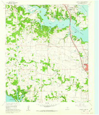
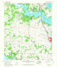
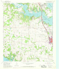
Editions of this 1960 Lewisville West Map
6 editions found
Other maps of this area

1891 · Dallas
USGS Topo · 1:125,000

1893 · Dallas
USGS Topo · 1:125,000

1894 · Fort Worth
USGS Topo · 1:125,000

1925 · Mc Kinney 3-c
USGS Topo · 1:48,000

1925 · Dallas 2-b
USGS Topo · 1:48,000

1929 · Frisco
USGS Topo · 1:62,500

1931 · Carrollton
USGS Topo · 1:62,500

1931 · Grapevine
USGS Topo · 1:62,500

1954 · Dallas
USGS Topo · 1:250,000

1954 · Sherman
USGS Topo · 1:250,000