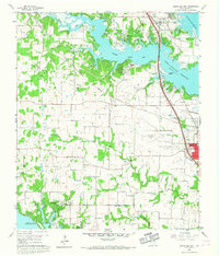
1960 Map of Lewisville West
USGS Topo · Published 1967About this map
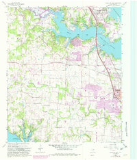
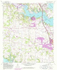
Garza-Little Elm Reservoir dominates the northern landscape, its rising waters shaping the northern boundary of Lewisville and the Hickory Creek Arm. This 1957 aerial survey, field checked in 1960, documents the area just as the Lewisville Dam and subsequent reservoir expansion transformed the local geography. To the south, the Grapevine Reservoir encroaches near the Flower Mound Ch, showing a region increasingly defined by large-scale water management projects.
Find a feature on this map
46 named features on this map. Tap any name to fly to it.
Don’t see what you’re looking for? This feature index may not catch every label — zoom into the map to look around manually.
Map Details
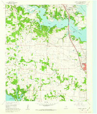
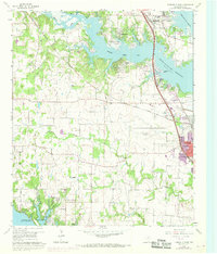
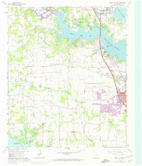
Editions of this 1960 Lewisville West Map
6 editions found
Other maps of this area

1891 · Dallas
USGS Topo · 1:125,000

1893 · Dallas
USGS Topo · 1:125,000

1894 · Fort Worth
USGS Topo · 1:125,000

1925 · Mc Kinney 3-c
USGS Topo · 1:48,000

1925 · Dallas 2-b
USGS Topo · 1:48,000

1929 · Frisco
USGS Topo · 1:62,500

1931 · Carrollton
USGS Topo · 1:62,500

1931 · Grapevine
USGS Topo · 1:62,500

1954 · Dallas
USGS Topo · 1:250,000

1954 · Sherman
USGS Topo · 1:250,000