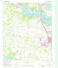
1960 Map of Lewisville West
USGS Topo · Published 1974About this map
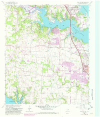
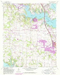
Garza-Little Elm Reservoir dominates the northern landscape of this Denton County study, reflecting a period of significant hydrological and suburban change. In the early 1960s, the rural character of Flower Mound and Highland Village remained anchored by community landmarks like Chinn Chapel and the New Providence Ch. The expansion of the urban footprint into the southern reaches is highlighted by later revisions, showing how early settlement patterns began to yield to residential development.
Find a feature on this map
42 named features on this map. Tap any name to fly to it.
Don’t see what you’re looking for? This feature index may not catch every label — zoom into the map to look around manually.
Map Details
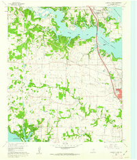
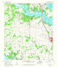
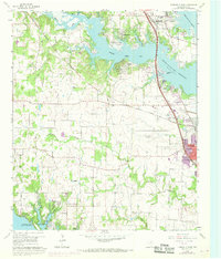
Editions of this 1960 Lewisville West Map
6 editions found
Other maps of this area

1891 · Dallas
USGS Topo · 1:125,000

1893 · Dallas
USGS Topo · 1:125,000

1894 · Fort Worth
USGS Topo · 1:125,000

1925 · Mc Kinney 3-c
USGS Topo · 1:48,000

1925 · Dallas 2-b
USGS Topo · 1:48,000

1929 · Frisco
USGS Topo · 1:62,500

1931 · Carrollton
USGS Topo · 1:62,500

1931 · Grapevine
USGS Topo · 1:62,500

1954 · Dallas
USGS Topo · 1:250,000

1954 · Sherman
USGS Topo · 1:250,000