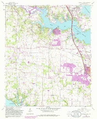
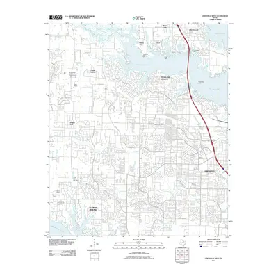
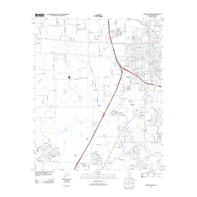
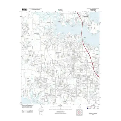
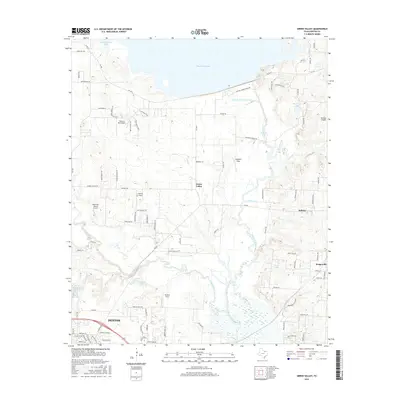
1960 Map of Lewisville East
USGS Topo · Published 1982About this map
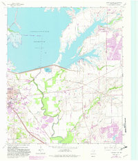
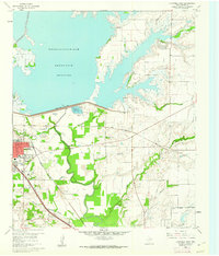
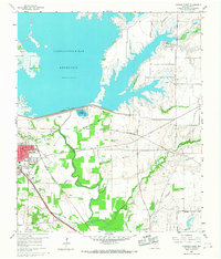
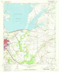
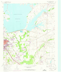
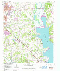
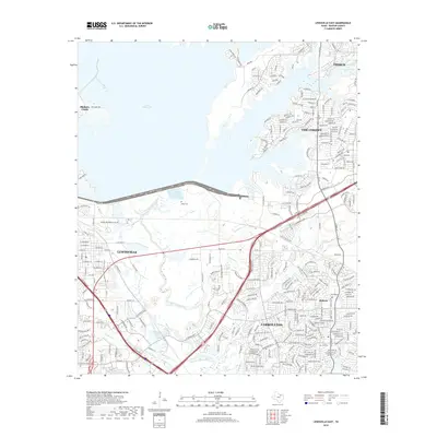
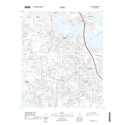
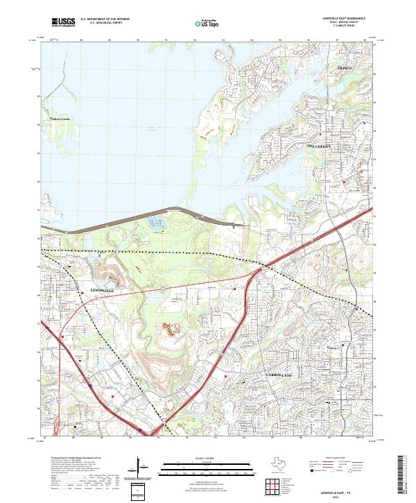
Garza-Little Elm Reservoir dominates the northern landscape of this Denton County survey, its irregular shoreline creating a series of peninsulas that include Westlake Park and Wynwood Park. The massive Lewisville Dam regulates the waters above the Elm Fork Trinity River, which meanders south through a corridor of bottomland timber and gravel operations like the Strip Mine.
Find a feature on this map
38 named features on this map. Tap any name to fly to it.
Don’t see what you’re looking for? This feature index may not catch every label — zoom into the map to look around manually.
Map Details
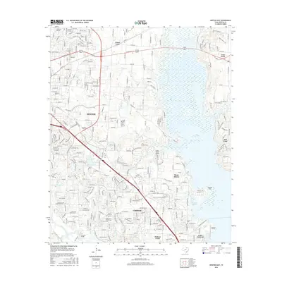
Editions of this 1960 Lewisville East Map
5 editions found
Historical Maps of Frisco Through Time
37 maps found

1925 Mc Kinney 3-c
Denton County, TX
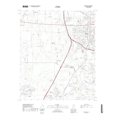
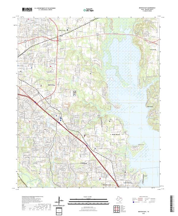
1960 Denton East
Denton County, TX
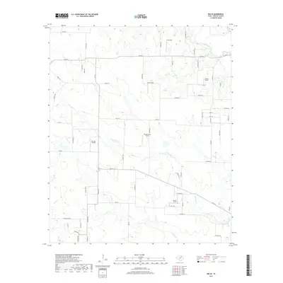
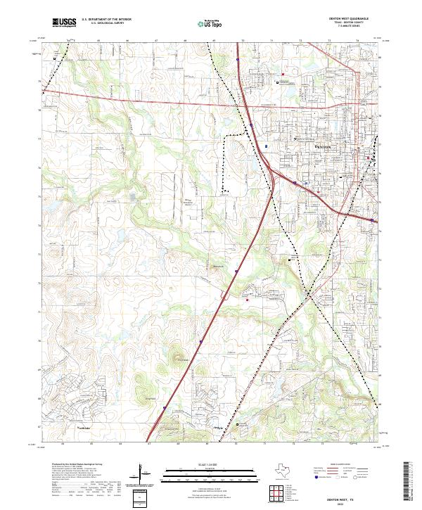
1960 Denton West
Denton County, TX
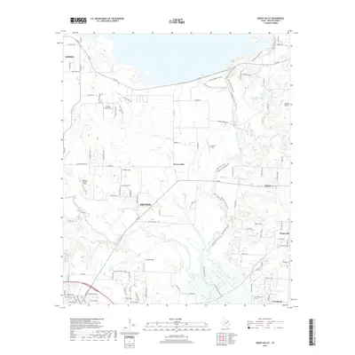
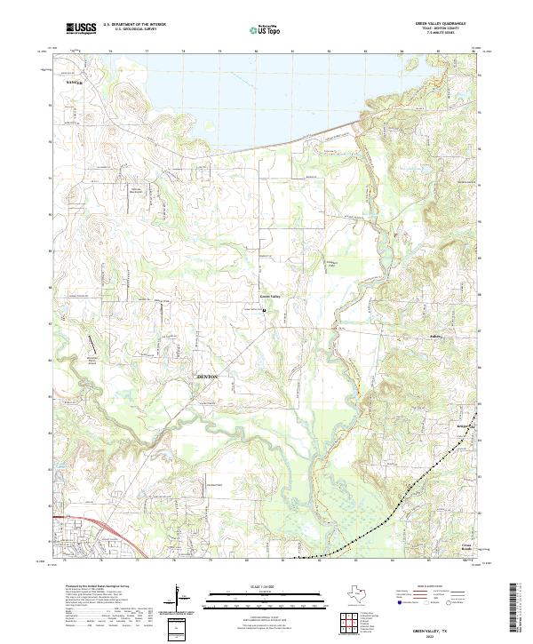
1960 Green Valley
Denton County, TX
1960 Lewisville East
Denton County, TX
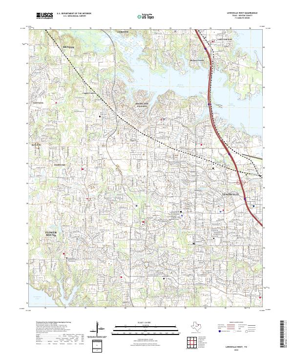
1960 Lewisville West
Denton County, TX
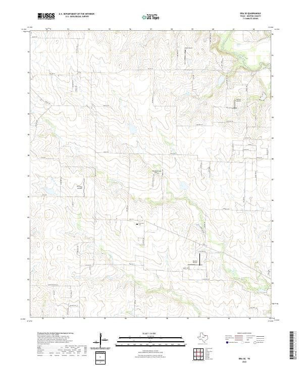
1961 Era SE
Denton County, TX
2010 Denton East
Denton County, TX
2010 Denton West
Denton County, TX
2010 Era SE
Denton County, TX
2010 Green Valley
Denton County, TX

2010 Lewisville East
Denton County, TX
2010 Lewisville West
Denton County, TX
2013 Denton East
Denton County, TX
2013 Denton West
Denton County, TX
2013 Era SE
Denton County, TX
2013 Green Valley
Denton County, TX
2013 Lewisville East
Denton County, TX
2013 Lewisville West
Denton County, TX
2016 Denton East
Denton County, TX
2016 Denton West
Denton County, TX
2016 Era SE
Denton County, TX
2016 Green Valley
Denton County, TX
2016 Lewisville East
Denton County, TX
2016 Lewisville West
Denton County, TX
2019 Denton East
Denton County, TX
2019 Denton West
Denton County, TX
2019 Era SE
Denton County, TX
2019 Green Valley
Denton County, TX
2019 Lewisville East
Denton County, TX
2019 Lewisville West
Denton County, TX
2022 Denton East
Denton County, TX
2022 Denton West
Denton County, TX
2022 Era SE
Denton County, TX
2022 Green Valley
Denton County, TX
2022 Lewisville East
Denton County, TX
2022 Lewisville West
Denton County, TX