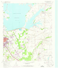
1960 Map of Lewisville East
USGS Topo · Published 1974About this map
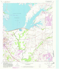
The Garza-Little Elm Reservoir dominates the northern landscape of this Denton County quadrangle, showing the shoreline as it existed before further regional development. The expanding urban footprint of Lewisville is highlighted in purple, indicating growth through the late 1960s and early 1970s against the original 1960 survey data. Key transportation corridors are defined by the Atchison Topeka and Santa Fe and the Missouri Kansas Texas railroads, which intersect the terrain near the Elm Fork Trinity River. Smaller rural settlements and named points like McWhorter and Midway sit among a network of drainages including Indian Branch and Stewart Creek. The map also captures several recreational areas along the lake, such as Hackberry Park and Wynnwood Park, reflecting the early importance of the reservoir to local community life.
Find a feature on this map
20 named features on this map. Tap any name to fly to it.
Don’t see what you’re looking for? This feature index may not catch every label — zoom into the map to look around manually.
Map Details
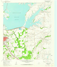
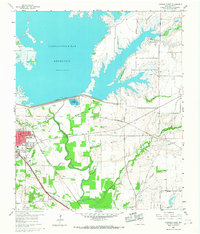
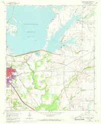
Editions of this 1960 Lewisville East Map
5 editions found
Other maps of this area

1891 · Dallas
USGS Topo · 1:125,000

1893 · Dallas
USGS Topo · 1:125,000

1894 · Fort Worth
USGS Topo · 1:125,000

1925 · Mc Kinney 3-c
USGS Topo · 1:48,000

1925 · Dallas 2-b
USGS Topo · 1:48,000

1929 · Frisco
USGS Topo · 1:62,500

1931 · Carrollton
USGS Topo · 1:62,500

1931 · Grapevine
USGS Topo · 1:62,500

1954 · Dallas
USGS Topo · 1:250,000

1954 · Sherman
USGS Topo · 1:250,000