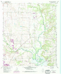
1960 Map of Green Valley
USGS Topo · Published 1978About this map
The Elm Fork Trinity River and Clear Creek converge in this northern Texas landscape, defining a region where river bottomlands meet developing ranch and infrastructure projects. By the late 1950s, the southern portion of the map is dominated by the Garza-Little Elm Reservoir, with its expansive inundation zones affecting the local geography. The rural character of the area is anchored by the community of Green Valley and the railroad stop at Aubrey. Local history is preserved in landmarks such as the Rock Hill Ch and the Davis Cem located near the northern bends of the river. Industrial activity is evident through numerous Gravel Pits and a Pumping Sta near the water's edge. The Missouri Pacific railroad cuts through the eastern terrain, serving as a primary transportation artery alongside the emerging Pipeline corridors and a local Landing Strip.
Find a feature on this map
22 named features on this map. Tap any name to fly to it.
Don’t see what you’re looking for? This feature index may not catch every label — zoom into the map to look around manually.
Map Details
Editions of this 1960 Green Valley Map
4 editions found
Other maps of this area

1929 · Frisco
USGS Topo · 1:62,500

1954 · Sherman
USGS Topo · 1:250,000

1958 · Sherman
USGS Topo · 1:250,000

1960 · Sanger
USGS Topo · 1:24,000

1960 · Green Valley
USGS Topo · 1:24,000

1960 · Aubrey
USGS Topo · 1:24,000
1960 · Denton East
USGS Topo · 1:24,000
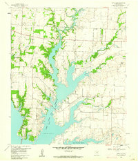
1960 · Little Elm
USGS Topo · 1:24,000
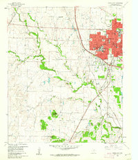
1960 · Denton West
USGS Topo · 1:24,000

1961 · Pilot Point
USGS Topo · 1:24,000