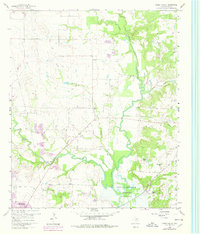
1960 Map of Green Valley
USGS Topo · Published 1978About this map
Elm Fork Trinity River and Clear Creek dominate this northern Texas landscape, converging as they enter the northern reaches of the Garza - Little Elm Reservoir. The 1960 data, revised in the late 1970s, captures a transition where traditional agricultural lands and family landmarks like Rock Hill meet expanding infrastructure. The small settlement of Green Valley sits centrally, surrounded by numerous Gravel Pits that reflect the local extractive industry of the era.
Find a feature on this map
22 named features on this map. Tap any name to fly to it.
Don’t see what you’re looking for? This feature index may not catch every label — zoom into the map to look around manually.
Map Details
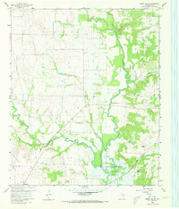
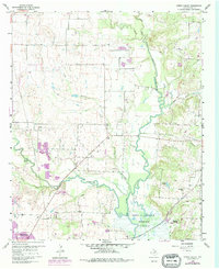
Editions of this 1960 Green Valley Map
4 editions found
Other maps of this area

1929 · Frisco
USGS Topo · 1:62,500

1954 · Sherman
USGS Topo · 1:250,000

1958 · Sherman
USGS Topo · 1:250,000

1960 · Sanger
USGS Topo · 1:24,000

1960 · Green Valley
USGS Topo · 1:24,000

1960 · Aubrey
USGS Topo · 1:24,000
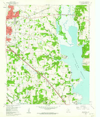
1960 · Denton East
USGS Topo · 1:24,000
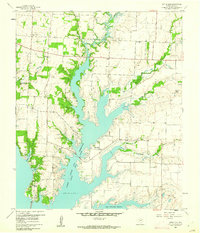
1960 · Little Elm
USGS Topo · 1:24,000
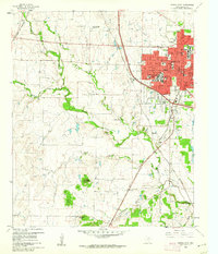
1960 · Denton West
USGS Topo · 1:24,000

1961 · Pilot Point
USGS Topo · 1:24,000