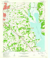
1960 Map of Denton East
USGS Topo · Published 1962About this map
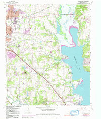
Denton expands eastward in the early 1960s, its urban footprint meeting a landscape defined by the expansive Garza - Little Elm Reservoir. The eastern edge of the city is anchored by Texas Womans University, including its campus and Golf Course, while several local schools like Woodrow Wilson Sch and Jefferson Davis Sch dot the residential sections. Moving southeast toward Lake Dallas, the terrain follows the Missouri - Kansas - Texas and Texas and Pacific rail lines, which cut through the small communities of Corinth and Mingo. Along the shoreline of the reservoir, recreational and religious sites such as Camp Copass, Shady Shores, and the Jesuit Retreat show the lake's influence on local land use. Historical traces remain visible in the countryside through family-named landmarks like Swisher Cem and rural congregations at Old Alton Ch.
Find a feature on this map
49 named features on this map. Tap any name to fly to it.
Don’t see what you’re looking for? This feature index may not catch every label — zoom into the map to look around manually.
Map Details
Editions of this 1960 Denton East Map
5 editions found
Other maps of this area

1925 · Mc Kinney 3-c
USGS Topo · 1:48,000

1929 · Frisco
USGS Topo · 1:62,500

1954 · Sherman
USGS Topo · 1:250,000

1958 · Sherman
USGS Topo · 1:250,000

1960 · Sanger
USGS Topo · 1:24,000

1960 · Green Valley
USGS Topo · 1:24,000
1960 · Argyle
USGS Topo · 1:24,000

1960 · Aubrey
USGS Topo · 1:24,000
1960 · Lewisville East
USGS Topo · 1:24,000
1960 · Lewisville West
USGS Topo · 1:24,000