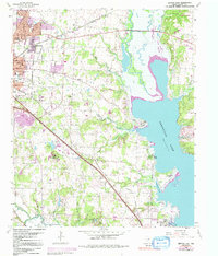
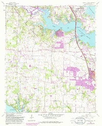
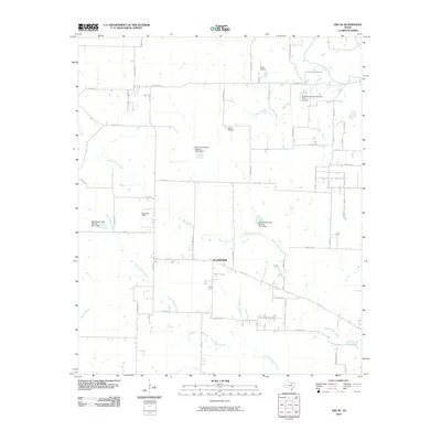
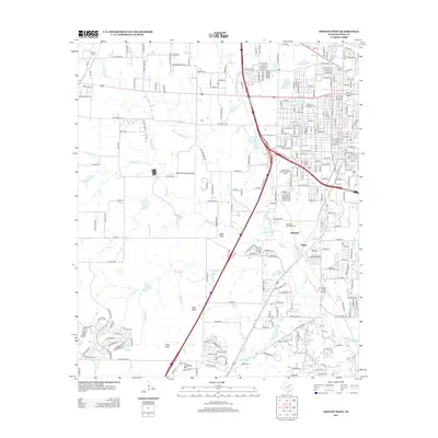
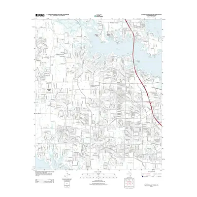
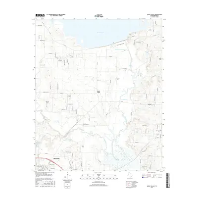
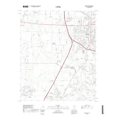
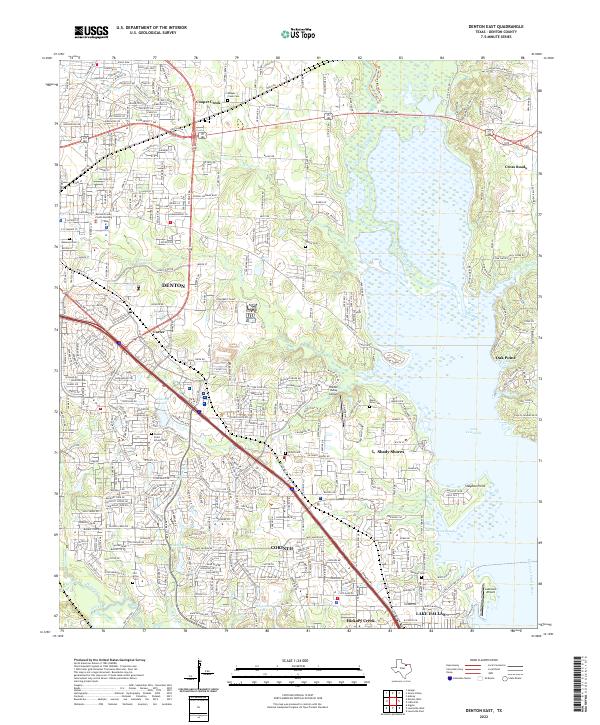
1960 Map of Denton East
USGS Topo · Published 1969About this map
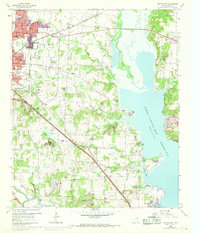
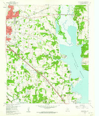
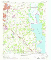
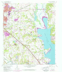
The eastern expansion of Denton is the central focus of this 1960s study, where the growing urban grid meets the sprawling waters of the Garza - Little Elm Reservoir. The map illustrates a landscape in transition as residential streets like Robinwood Lane and Shady Oaks Dr push east toward the Elm Fork Trinity River. Educational and social institutions are prominent, including the Texas Womans University and its Texas Womans University Golf Course, alongside rural remnants such as Old Alton Ch and Swisher Cem. The transportation network is anchored by the Texas and Pacific and Missouri - Kansas - Texas railroads, which cross the terrain near the small settlements of Corinth and Mingo. Along the jagged shoreline of the reservoir, recreational and religious retreats like Camp Copass and the Jesuit Retreat mark the interface between the rising water and the Denton hills.
Find a feature on this map
61 named features on this map. Tap any name to fly to it.
Don’t see what you’re looking for? This feature index may not catch every label — zoom into the map to look around manually.
Map Details
Editions of this 1960 Denton East Map
5 editions found
Historical Maps of Denton Through Time
37 maps found

1925 Mc Kinney 3-c
Denton County, TX
1960 Denton East
Denton County, TX
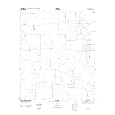
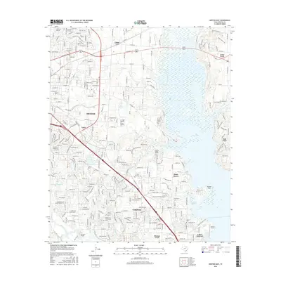
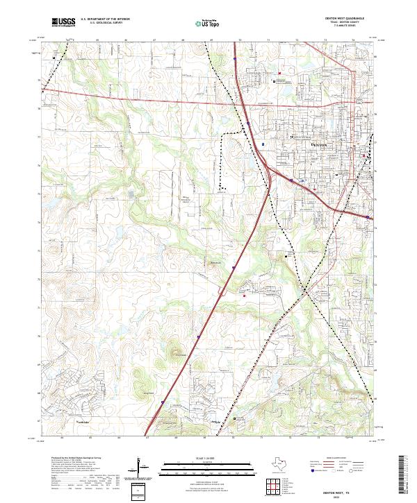
1960 Denton West
Denton County, TX
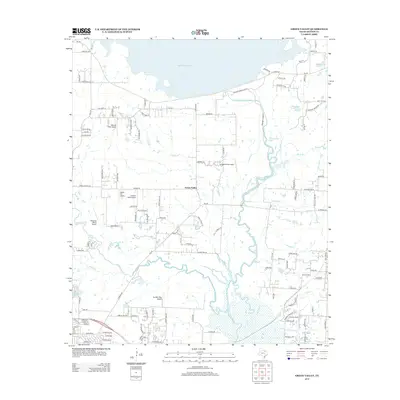
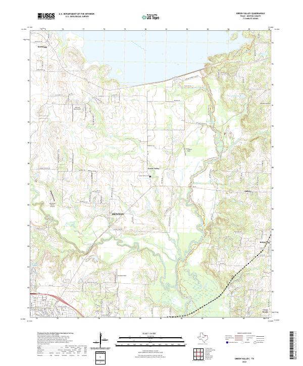
1960 Green Valley
Denton County, TX
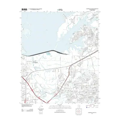
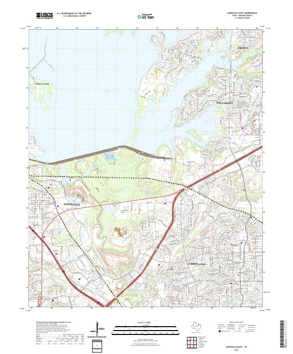
1960 Lewisville East
Denton County, TX
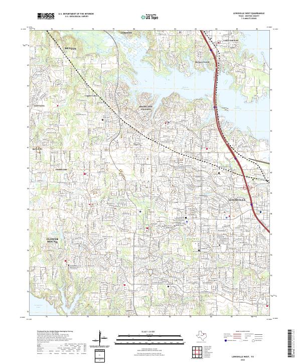
1960 Lewisville West
Denton County, TX
1961 Era SE
Denton County, TX
2010 Denton East
Denton County, TX
2010 Denton West
Denton County, TX
2010 Era SE
Denton County, TX
2010 Green Valley
Denton County, TX

2010 Lewisville East
Denton County, TX
2010 Lewisville West
Denton County, TX
2013 Denton East
Denton County, TX
2013 Denton West
Denton County, TX
2013 Era SE
Denton County, TX
2013 Green Valley
Denton County, TX
2013 Lewisville East
Denton County, TX
2013 Lewisville West
Denton County, TX
2016 Denton East
Denton County, TX
2016 Denton West
Denton County, TX
2016 Era SE
Denton County, TX
2016 Green Valley
Denton County, TX
2016 Lewisville East
Denton County, TX
2016 Lewisville West
Denton County, TX
2019 Denton East
Denton County, TX
2019 Denton West
Denton County, TX
2019 Era SE
Denton County, TX
2019 Green Valley
Denton County, TX
2019 Lewisville East
Denton County, TX
2019 Lewisville West
Denton County, TX
2022 Denton East
Denton County, TX
2022 Denton West
Denton County, TX
2022 Era SE
Denton County, TX
2022 Green Valley
Denton County, TX
2022 Lewisville East
Denton County, TX
2022 Lewisville West
Denton County, TX