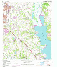
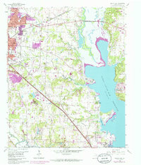
1960 Map of Denton East
USGS Topo · Published 1991About this map
Denton expands eastward toward the burgeoning waters of Lewisville Lake in this mid-century portrait of Denton County. The landscape is defined by the dual infrastructure of the Missouri Kansas and Texas and the Texas and Pacific railroads, which cross the terrain alongside established institutions like Texas Womans University and the Denton State Sch. Small rural communities and named clusters like Mingo, Carter, and Corinth sit among the tributaries of the Elm Fork Trinity River, including Pecan Creek and Hickory Creek.
Find a feature on this map
53 named features on this map. Tap any name to fly to it.
Don’t see what you’re looking for? This feature index may not catch every label — zoom into the map to look around manually.
Map Details
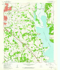
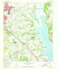
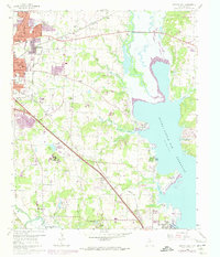
Editions of this 1960 Denton East Map
5 editions found
Other maps of this area

1925 · Mc Kinney 3-c
USGS Topo · 1:48,000

1929 · Frisco
USGS Topo · 1:62,500

1954 · Sherman
USGS Topo · 1:250,000

1958 · Sherman
USGS Topo · 1:250,000

1960 · Sanger
USGS Topo · 1:24,000

1960 · Green Valley
USGS Topo · 1:24,000
1960 · Argyle
USGS Topo · 1:24,000

1960 · Aubrey
USGS Topo · 1:24,000
1960 · Lewisville East
USGS Topo · 1:24,000
1960 · Lewisville West
USGS Topo · 1:24,000