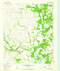
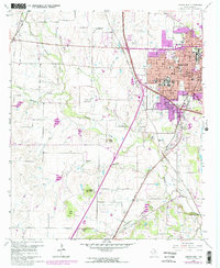
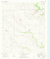
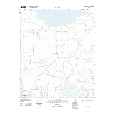
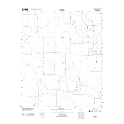
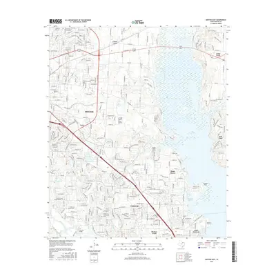
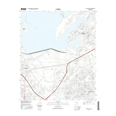
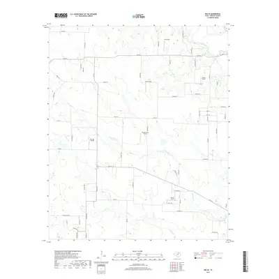
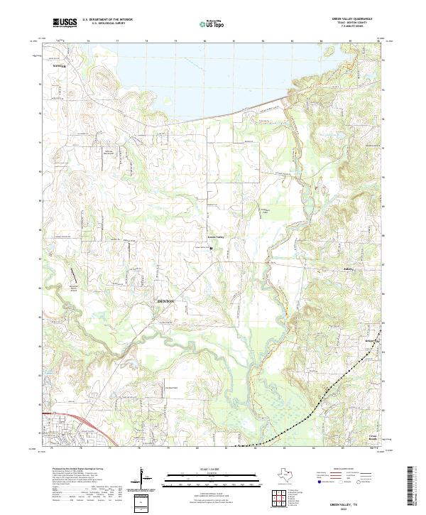
1960 Map of Green Valley
USGS Topo · Published 1961About this map
The Elm Fork Trinity River winds through the heart of Denton County, where the transition from riverine bottomlands to the expanding Garza-Little Elm Reservoir defines the landscape. The northern reaches of the reservoir are clearly documented, showing the inundation patterns near Isle du Bois Creek and Clear Creek. Settlement patterns are concentrated around Green Valley and Aubrey, with rural life anchored by the Rock Hill Ch and Davis Cem. Transportation infrastructure is a primary feature, notably the Texas and Pacific railroad line and the Hartlee Airstrip. Several Gravel Pits along the river suggest an active local extraction industry, while family-named landmarks like Harmony Ranch provide valuable context for genealogical research in this part of North Texas.
Find a feature on this map
20 named features on this map. Tap any name to fly to it.
Don’t see what you’re looking for? This feature index may not catch every label — zoom into the map to look around manually.
Map Details
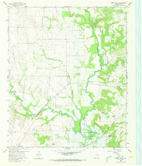
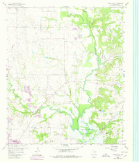
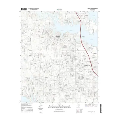
Editions of this 1960 Green Valley Map
4 editions found
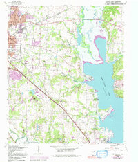
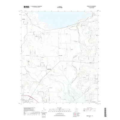
Historical Maps of Denton Through Time
37 maps found

1925 Mc Kinney 3-c
Denton County, TX
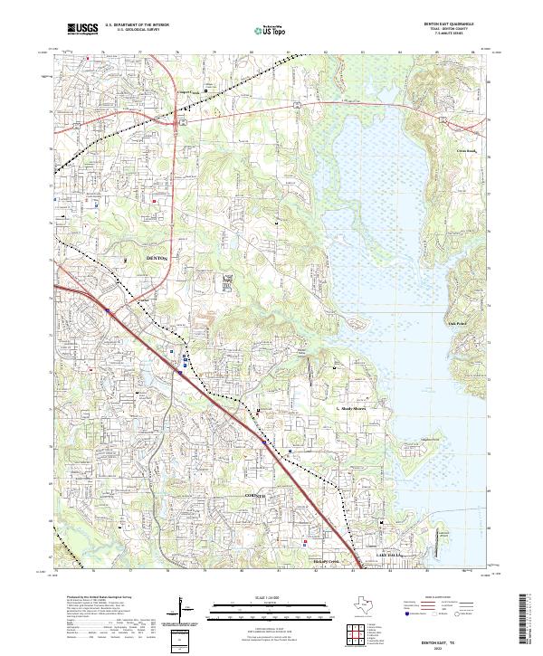
1960 Denton East
Denton County, TX
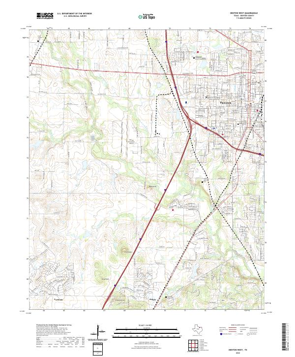
1960 Denton West
Denton County, TX
1960 Green Valley
Denton County, TX
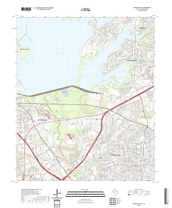
1960 Lewisville East
Denton County, TX
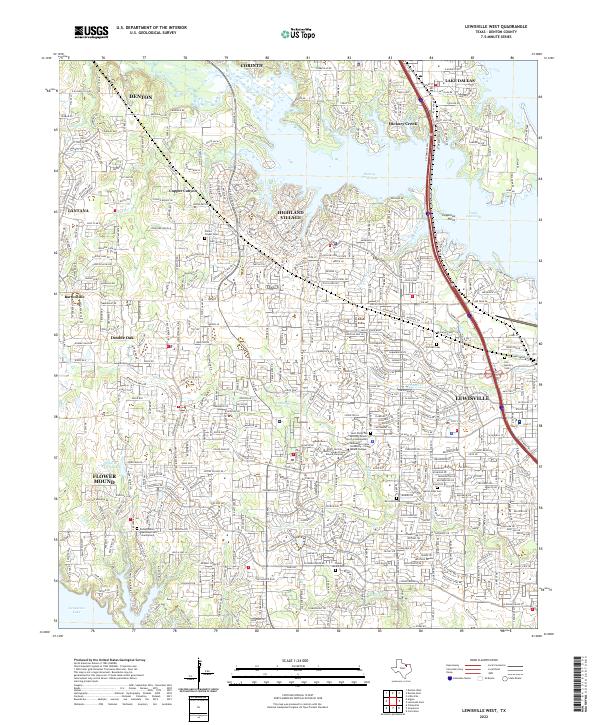
1960 Lewisville West
Denton County, TX
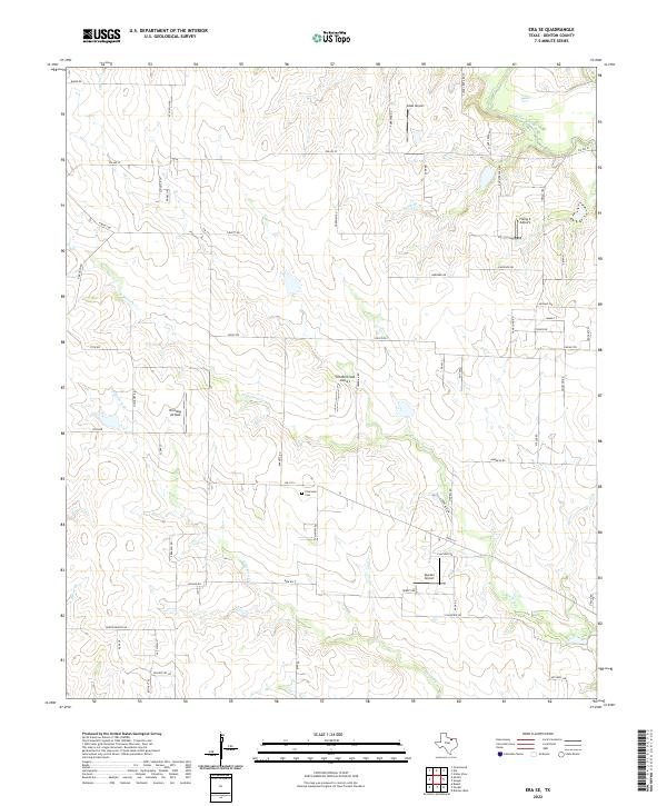
1961 Era SE
Denton County, TX
2010 Denton East
Denton County, TX
2010 Denton West
Denton County, TX
2010 Era SE
Denton County, TX
2010 Green Valley
Denton County, TX

2010 Lewisville East
Denton County, TX
2010 Lewisville West
Denton County, TX
2013 Denton East
Denton County, TX
2013 Denton West
Denton County, TX
2013 Era SE
Denton County, TX
2013 Green Valley
Denton County, TX
2013 Lewisville East
Denton County, TX
2013 Lewisville West
Denton County, TX
2016 Denton East
Denton County, TX
2016 Denton West
Denton County, TX
2016 Era SE
Denton County, TX
2016 Green Valley
Denton County, TX
2016 Lewisville East
Denton County, TX
2016 Lewisville West
Denton County, TX
2019 Denton East
Denton County, TX
2019 Denton West
Denton County, TX
2019 Era SE
Denton County, TX
2019 Green Valley
Denton County, TX
2019 Lewisville East
Denton County, TX
2019 Lewisville West
Denton County, TX
2022 Denton East
Denton County, TX
2022 Denton West
Denton County, TX
2022 Era SE
Denton County, TX
2022 Green Valley
Denton County, TX
2022 Lewisville East
Denton County, TX
2022 Lewisville West
Denton County, TX