
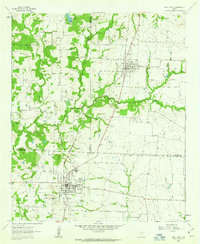
1961 Map of Pilot Point
USGS Topo · Published 1963About this map
The Texas and Pacific railroad corridor anchors this 1961 survey, connecting the rural centers of Tioga and Pilot Point through a landscape of winding creeks and family-named landmarks. The terrain is defined by the convergence of Indian Creek, Isle du Bois Creek, and Buck Creek, creating a network of riparian valleys that shaped early settlement patterns across the Cooke, Grayson, and Denton County lines.
Find a feature on this map
24 named features on this map. Tap any name to fly to it.
Don’t see what you’re looking for? This feature index may not catch every label — zoom into the map to look around manually.
Map Details
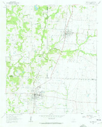
Editions of this 1961 Pilot Point Map
3 editions found
Other maps of this area

1901 · Denison
USGS Topo · 1:125,000

1902 · Gainesville
USGS Topo · 1:125,000

1943 · Gainesville
USGS Topo · 1:125,000

1954 · Sherman
USGS Topo · 1:250,000

1958 · Whitesboro
USGS Topo · 1:62,500

1958 · Sherman
USGS Topo · 1:250,000

1960 · Green Valley
USGS Topo · 1:24,000

1960 · Celina
USGS Topo · 1:24,000

1960 · Aubrey
USGS Topo · 1:24,000

1960 · Woodbine
USGS Topo · 1:24,000