Old Maps of Pilot Point, Texas
Explore 27 old maps of Pilot Point, spanning from 1954 to today. These high-resolution historic maps reveal how streets, neighborhoods, landmarks, and natural features evolved over time — perfect for genealogy, metal detecting, research, and local history exploration.
What you can do with these maps:
- See how Pilot Point changed over time: Compare historical maps to modern-day views to trace roads, homesites, rail lines & more.
- View detailed metadata: Each map includes creators, publishers, year, scale, and archive source.
- Overlay maps with satellite & LiDAR: Visualize the past alongside modern tools to explore terrain & human change.
- Trusted historical sources: Maps sourced from the USGS, Library of Congress, and other archives.
- Access maps your way: View online, download high-res files, or order prints for personal or research use.
Start exploring old maps of Pilot Point to uncover forgotten places, hidden landmarks, and the deep history beneath your feet.
Pilot Point, TX maps
(27)- 1954 Map of Sherman, 1964 Print
 1954 Sherman1964 Print · USGSThe Red River valley and North Texas plains are captured here in the mid-fifties, showing the region as new reservoirs like Lake Texoma and Lavon Reservoir reshaped the land. Genealogists can trace family roots through specific local landmarks like Courtney P O, Pilot Grove Sch, and New Hope Ch.2 unique versions available
 - 1958 Map of Sherman, 1959 Print
 1958 Sherman1959 Print · USGSNorth Texas and Southern Oklahoma were undergoing significant development in the late fifties as the Red River Valley transit networks matured. Researchers can trace historic family-named locations such as Saddler Bend, the grounds of Perrin AFB, and early shoreline developments at Lake Texoma.
 - 1960 Map of Celina, 1961 Print
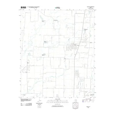
 1960 Celina1961 Print · USGSCollin and Denton counties come alive in the early sixties, showing a landscape shaped by the Frisco railroad. Genealogists can trace family footprints at Old Celina Cem, Old Union Cem, and the settlement of Alla.3 unique versions available
 - 1960 Map of Aubrey, 1962 Print
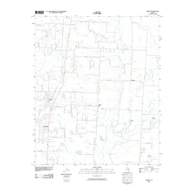
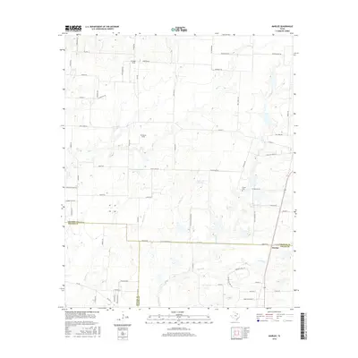
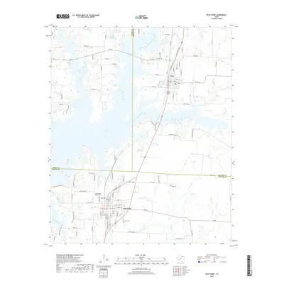
 1960 Aubrey1962 Print · USGSDenton County agricultural life is captured here in the early sixties, just as the Garza-Little Elm Reservoir began to reshape the local geography. Researchers can pinpoint the Belew Cem, the central Aubrey townsite, and rural landmarks like the Community House.2 unique versions available
 - 1961 Map of Pilot Point, 1963 Print
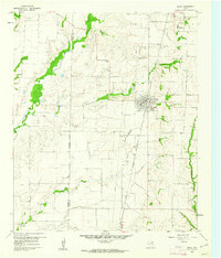
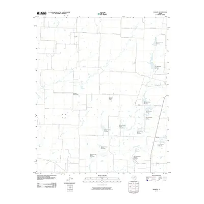
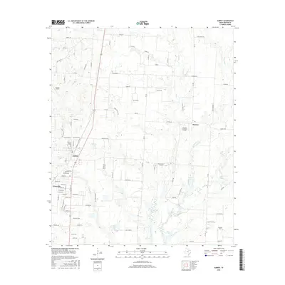
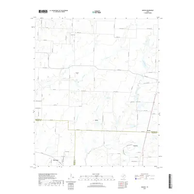
 1961 Pilot Point1963 Print · USGSDenton and Grayson Counties are seen here in the early sixties, centered on the railroad corridor through the Texas prairie. Local historians can trace the foundations of Tioga and Pilot Point, locating sites like Gee High Sch, the Masonic Cem, and Tipton Chapel.3 unique versions available
 - 1961 Map of Marilee, 1963 Print
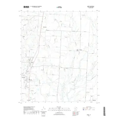
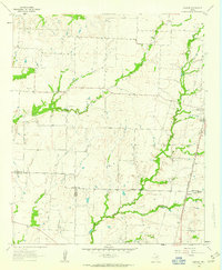 1961 Marilee1963 Print · USGSThe rural borderlands of Grayson, Denton, and Collin counties come into focus in the early sixties as the railroad era meets modern infrastructure. Trace the tracks of the St Louis San Francisco and Texas rail line through Marilee or locate local landmarks like Mt Carmel Ch and Gunter Cem.2 unique versions available
 - 1985 Map of McKinney
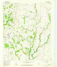
 1985 McKinney1985 Print · USGSNorth Texas in the mid-1980s was a landscape of rural communities connected by a complex web of railroads and creek systems. Researchers can trace family roots through settlements like Westminster, find local landmarks like Henslee Chapel, or map the industrial activity at various Gravel Pits.2 unique versions available
 - 2010 Map of Marilee, 2010 Print
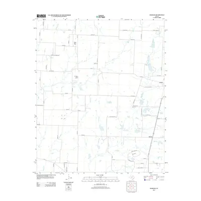
 2010 Marilee2010 Print · USGSCovers Pilot Point, including Celina, Gunter, and other nearby areas
 - 2010 Map of Aubrey, 2010 Print
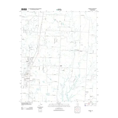
 2010 Aubrey2010 Print · USGSCovers Pilot Point, including Prosper, Celina, and other nearby areas
 - 2010 Map of Celina, 2010 Print
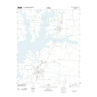
 2010 Celina2010 Print · USGSCovers Pilot Point, including Prosper, Celina, and other nearby areas
 - 2010 Map of Pilot Point, 2010 Print
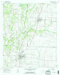
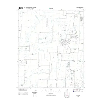
 2010 Pilot Point2010 Print · USGSCovers Pilot Point, including Tioga, Grayson County, and other nearby areas
 - 2013 Map of Celina, 2013 Print
 2013 Celina2013 Print · USGSCovers Pilot Point, including Prosper, Celina, and other nearby areas
 - 2013 Map of Aubrey, 2013 Print
 2013 Aubrey2013 Print · USGSCovers Pilot Point, including Prosper, Celina, and other nearby areas
 - 2013 Map of Marilee, 2013 Print
 2013 Marilee2013 Print · USGSCovers Pilot Point, including Celina, Gunter, and other nearby areas
 - 2013 Map of Pilot Point, 2013 Print
 2013 Pilot Point2013 Print · USGSCovers Pilot Point, including Tioga, Grayson County, and other nearby areas
 - 2016 Map of Aubrey, 2016 Print
 2016 Aubrey2016 Print · USGSCovers Pilot Point, including Prosper, Celina, and other nearby areas
 - 2016 Map of Marilee, 2016 Print
 2016 Marilee2016 Print · USGSCovers Pilot Point, including Celina, Gunter, and other nearby areas
 - 2016 Map of Pilot Point, 2016 Print
 2016 Pilot Point2016 Print · USGSCovers Pilot Point, including Tioga, Grayson County, and other nearby areas
 - 2016 Map of Celina, 2016 Print
 2016 Celina2016 Print · USGSCovers Pilot Point, including Prosper, Celina, and other nearby areas
 - 2019 Map of Marilee, 2019 Print
 2019 Marilee2019 Print · USGSCovers Pilot Point, including Celina, Gunter, and other nearby areas
 - 2019 Map of Pilot Point, 2019 Print
 2019 Pilot Point2019 Print · USGSCovers Pilot Point, including Tioga, Grayson County, and other nearby areas
 - 2019 Map of Celina, 2019 Print
 2019 Celina2019 Print · USGSCovers Pilot Point, including Prosper, Celina, and other nearby areas
 - 2019 Map of Aubrey, 2019 Print
 2019 Aubrey2019 Print · USGSCovers Pilot Point, including Prosper, Celina, and other nearby areas
 - 2022 Map of Celina, 2022 Print
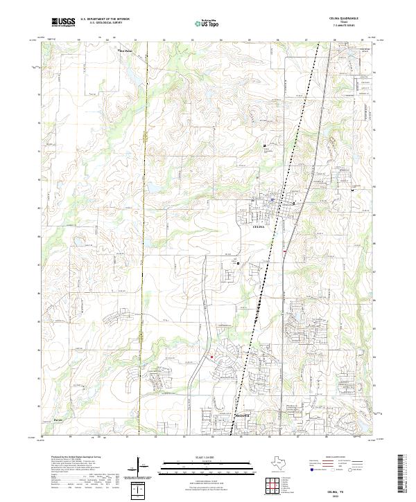 2022 Celina2022 Print · USGSThe North Texas suburban expansion meets its agricultural roots in this 2022 record of the Denton and Collin county line. Local researchers can trace modern growth alongside historic sites like Old Celina Cem and the quiet settlement of Parvin.
 - 2022 Map of Marilee, 2022 Print
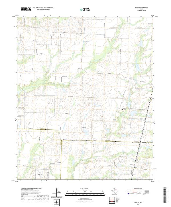 2022 Marilee2022 Print · USGSGrayson and Collin counties meet in this 2020s study of the North Texas prairies. Genealogists and local historians can trace family land via Gunter Cem or follow the paths of Little Elm Creek and Walnut Fork near the rural community of Marilee.
Showing maps 1-25 of 27
Top cities near Pilot Point
- Frisco historical maps
- McKinney historical maps
- Denton historical maps
- Allen historical maps
- Little Elm historical maps
- Sherman historical maps
See more
Frequently asked questions
- What are the different types of historical maps available for Pilot Point?
- What is the oldest map of Pilot Point?
- Where can I purchase historical maps of Pilot Point for my home or office?
- Where can I download high-res historical maps of Pilot Point?
- Are there historical topographic maps available for Pilot Point?
- Is there historical aerial imagery available for Pilot Point?
- Where are historical maps of Pilot Point sourced from?