Old Maps of Gainesville, Texas
Explore 30 old maps of Gainesville, spanning from 1902 to today. These high-resolution historic maps reveal how streets, neighborhoods, landmarks, and natural features evolved over time — perfect for genealogy, metal detecting, research, and local history exploration.
What you can do with these maps:
- See how Gainesville changed over time: Compare historical maps to modern-day views to trace roads, homesites, rail lines & more.
- View detailed metadata: Each map includes creators, publishers, year, scale, and archive source.
- Overlay maps with satellite & LiDAR: Visualize the past alongside modern tools to explore terrain & human change.
- Trusted historical sources: Maps sourced from the USGS, Library of Congress, and other archives.
- Access maps your way: View online, download high-res files, or order prints for personal or research use.
Start exploring old maps of Gainesville to uncover forgotten places, hidden landmarks, and the deep history beneath your feet.
Gainesville, TX maps
(30)- 1902 Map of Gainesville
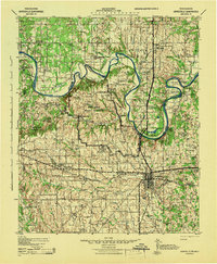
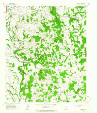
 1902 Gainesville1902 Print · USGSThe Red River frontier comes alive in the years before Oklahoma statehood, showing the border between Texas and the Chickasaw Nation. Trace early river travel through Rock Bluff Ferry and Freemans Ferry or locate old schoolhouses like Wolf Ridge Schoolhouse.5 unique versions available
 - 1943 Map of Gainesville
 1943 Gainesville1943 Print · USGSTexas and Oklahoma borders meet along the winding Red River during the height of the Second World War. Genealogists can trace family names through dozens of rural landmarks like Whaley Chapel School, Spring Valley Church, and the sprawling Camp Howze Military Reservation.
 - 1954 Map of Sherman, 1964 Print
 1954 Sherman1964 Print · USGSThe Red River valley and North Texas plains are captured here in the mid-fifties, showing the region as new reservoirs like Lake Texoma and Lavon Reservoir reshaped the land. Genealogists can trace family roots through specific local landmarks like Courtney P O, Pilot Grove Sch, and New Hope Ch.2 unique versions available
 - 1958 Map of Sherman, 1959 Print
 1958 Sherman1959 Print · USGSNorth Texas and Southern Oklahoma were undergoing significant development in the late fifties as the Red River Valley transit networks matured. Researchers can trace historic family-named locations such as Saddler Bend, the grounds of Perrin AFB, and early shoreline developments at Lake Texoma.
 - 1960 Map of Callisburg, 1963 Print
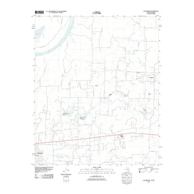
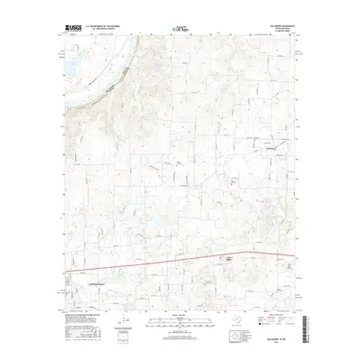
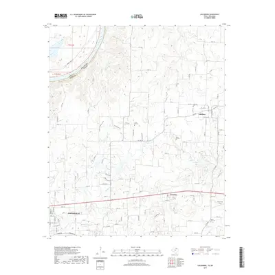
 1960 Callisburg1963 Print · USGSCooke County and the Oklahoma border are documented here in the early sixties as the regional oil industry thrived. Researchers can locate family landmarks like Center Hill Cem, the Gainesville State School For Girls, and the extensive Walnut Bend Oil Field.2 unique versions available
 - 1960 Map of Gainesville South, 1963 Print
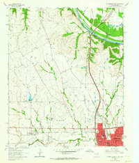
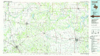
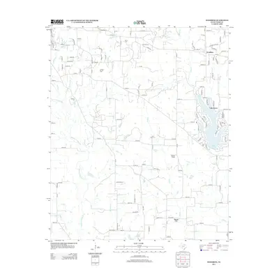
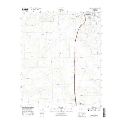
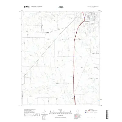
 1960 Gainesville South1963 Print · USGSGainesville and the surrounding Texas countryside are captured here in the early sixties as a center of rail commerce and educational growth. Genealogists and local historians can trace family-named sites like Spring Creek Cem or locate early landmarks including Gainesville Jr College and the Refinery.2 unique versions available
 - 1960 Map of Gainesville North, 1964 Print
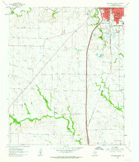
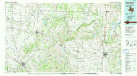
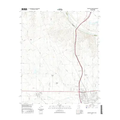
 1960 Gainesville North1964 Print · USGSGainesville and the surrounding Texas-Oklahoma borderlands are captured here in the early sixties as the regional rail and air infrastructure expanded. Trace local family roots at Rest Haven Memorial Cemetery or explore the rail junction of the Missouri Kansas Texas and Gulf Colorado and Santa Fe lines.2 unique versions available
 - 1960 Map of Woodbine, 1964 Print
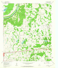
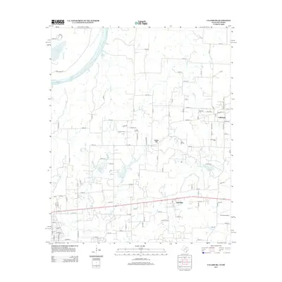
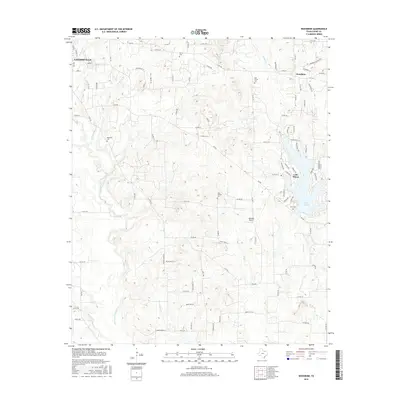
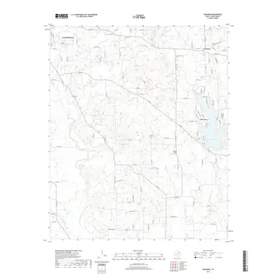
 1960 Woodbine1964 Print · USGSCooke County at the start of the 1960s shows a landscape balancing oil production and deep-rooted rural settlements. Genealogists can trace family sites like Dervin Cem or Rad Ware Sch, while historians can locate the Site of Fort Fitzhugh.2 unique versions available
 - 1985 Map of Gainesville
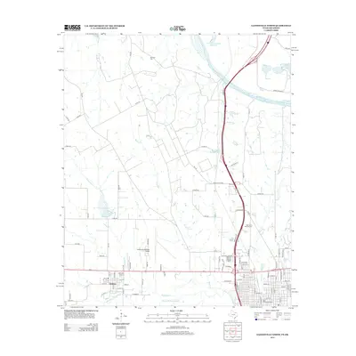
 1985 Gainesville1985 Print · USGSThe Red River valley in the mid-1980s reveals a landscape defined by the petroleum industry and a complex rail network. Researchers can trace the legacy of regional energy at the Bowers Field or locate community roots near Spanish Fort and Lakeview Cemetery.
 - 1991 Map of Gainesville
 1991 Gainesville1991 Print · USGSThe Red River borderlands of Texas and Oklahoma are captured here in the early nineties, showing a region defined by cattle history and oil production. Researchers can trace the layout of historic settlements like Spanish Fort and Belcherville or locate family landmarks near Queens Peak and Moss Lake.
 - 2010 Map of Woodbine, 2010 Print
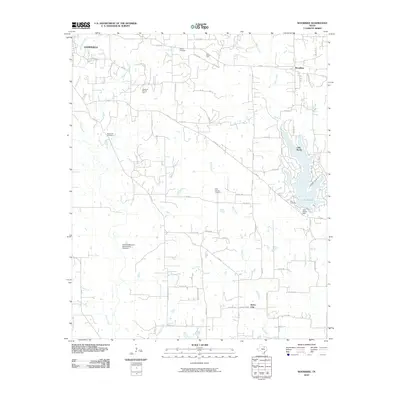 2010 Woodbine2010 Print · USGSCovers Gainesville, including Lake Kiowa, Burns City, and other nearby areas
 - 2010 Map of Callisburg, 2010 Print
 2010 Callisburg2010 Print · USGSCovers Gainesville, including Callisburg, Oak Ridge, and other nearby areas
 - 2010 Map of Gainesville South, 2010 Print
 2010 Gainesville South2010 Print · USGSCovers Gainesville, including Valley View, Cook, and other nearby areas
 - 2010 Map of Gainesville North, 2010 Print
 2010 Gainesville North2010 Print · USGSCovers Gainesville, including Lindsay, Cooke County, and other nearby areas
 - 2013 Map of Gainesville South, 2013 Print
 2013 Gainesville South2013 Print · USGSCovers Gainesville, including Valley View, Cook, and other nearby areas
 - 2013 Map of Woodbine, 2013 Print
 2013 Woodbine2013 Print · USGSCovers Gainesville, including Lake Kiowa, Burns City, and other nearby areas
 - 2013 Map of Gainesville North, 2013 Print
 2013 Gainesville North2013 Print · USGSCovers Gainesville, including Lindsay, Cooke County, and other nearby areas
 - 2013 Map of Callisburg, 2013 Print
 2013 Callisburg2013 Print · USGSCovers Gainesville, including Callisburg, Oak Ridge, and other nearby areas
 - 2016 Map of Callisburg, 2016 Print
 2016 Callisburg2016 Print · USGSCovers Gainesville, including Callisburg, Oak Ridge, and other nearby areas
 - 2016 Map of Woodbine, 2016 Print
 2016 Woodbine2016 Print · USGSCovers Gainesville, including Lake Kiowa, Burns City, and other nearby areas
 - 2016 Map of Gainesville South, 2016 Print
 2016 Gainesville South2016 Print · USGSCovers Gainesville, including Valley View, Cook, and other nearby areas
 - 2016 Map of Gainesville North, 2016 Print
 2016 Gainesville North2016 Print · USGSCovers Gainesville, including Lindsay, Cooke County, and other nearby areas
 - 2019 Map of Woodbine, 2019 Print
 2019 Woodbine2019 Print · USGSCovers Gainesville, including Lake Kiowa, Burns City, and other nearby areas
 - 2019 Map of Gainesville South, 2019 Print
 2019 Gainesville South2019 Print · USGSCovers Gainesville, including Valley View, Cook, and other nearby areas
 - 2019 Map of Callisburg, 2019 Print
 2019 Callisburg2019 Print · USGSCovers Gainesville, including Callisburg, Oak Ridge, and other nearby areas
Showing maps 1-25 of 30
Top cities near Gainesville
- Sanger historical maps
- Whitesboro historical maps
- Muenster historical maps
- Collinsville historical maps
- Lindsay historical maps
- Tioga historical maps
See more
Top neighborhoods of Gainesville
Frequently asked questions
- What are the different types of historical maps available for Gainesville?
- What is the oldest map of Gainesville?
- Where can I purchase historical maps of Gainesville for my home or office?
- Where can I download high-res historical maps of Gainesville?
- Are there historical topographic maps available for Gainesville?
- Is there historical aerial imagery available for Gainesville?
- Where are historical maps of Gainesville sourced from?