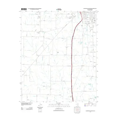
2013 Map of Gainesville South
USGS Topo · Published 2013About this map
The Elm Fork Trinity River and its many tributaries, including Townsend Cr, Scott Cr, and Willow Cr, carve a complex drainage pattern across this Cooke County landscape. The area south of Gainesville is defined by a blend of academic, aviation, and rural elements, anchored by the N Central Texas Coll campus in the north. Transportation infrastructure is dominated by the north-south corridor of Interstate 35, which passes near Sarles Lake and the small settlement of Cook. Aviation enthusiasts and historians can identify local flight history through Freedom Field Airport and The 88 Airport. Further south, the map transition into a more quiet, agricultural terrain where the Valley View Cem sits near the banks of Spring Cr, providing a primary point of interest for genealogists tracing families in this part of North Texas.
Find a feature on this map
105 named features on this map. Tap any name to fly to it.
Don’t see what you’re looking for? This feature index may not catch every label — zoom into the map to look around manually.
Map Details
Editions of this 2013 Gainesville South Map
This is the sole edition of this map. No revisions or reprints were ever made.
Other maps of this area

1902 · Gainesville
USGS Topo · 1:125,000

1943 · Gainesville
USGS Topo · 1:125,000

1954 · Sherman
USGS Topo · 1:250,000

1958 · Sherman
USGS Topo · 1:250,000

1960 · Callisburg
USGS Topo · 1:24,000

1960 · Gainesville South
USGS Topo · 1:24,000

1960 · Gainesville North
USGS Topo · 1:24,000

1960 · Woodbine
USGS Topo · 1:24,000

1961 · Era
USGS Topo · 1:24,000

1961 · Hood
USGS Topo · 1:24,000