
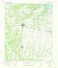
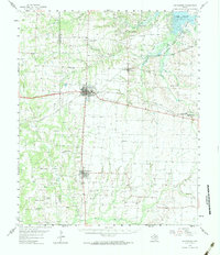
1958 Map of Whitesboro
USGS Topo · Published 1959About this map
The Lake Texoma shoreline and its Big Mineral Arm dominate the northeast corner of this north Texas landscape, where the Hagerman National Wildlife Refuge provides a protected habitat along the water's edge. This region, straddling the Cooke and Grayson county line, is defined by a dense network of petroleum extraction and rural communities. Extensive energy development is visible through numerous named zones like the Whitesboro Oil Field and Collinsville Oil Field.
Find a feature on this map
64 named features on this map. Tap any name to fly to it.
Don’t see what you’re looking for? This feature index may not catch every label — zoom into the map to look around manually.
Map Details
Editions of this 1958 Whitesboro Map
3 editions found
Other maps of this area

1901 · Denison
USGS Topo · 1:125,000

1902 · Gainesville
USGS Topo · 1:125,000

1943 · Gainesville
USGS Topo · 1:125,000

1954 · Sherman
USGS Topo · 1:250,000

1958 · Dorchester
USGS Topo · 1:24,000

1958 · Gordonville
USGS Topo · 1:62,500

1958 · Denison Dam
USGS Topo · 1:62,500

1958 · Sherman NW
USGS Topo · 1:24,000

1958 · Sherman
USGS Topo · 1:250,000

1958 · Sherman
USGS Topo · 1:62,500