1958 Map of Sherman
USGS Topo · Published 1959About this map
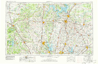
Perrin Air Force Base occupies a massive footprint northwest of Sherman, marking a period of significant military presence in Grayson County during the late 1950s. The regional landscape is defined by a dense intersection of major rail lines, including the Missouri Kansas Texas, St Louis San Francisco, and Southern Pacific, which converge at North Sherman Junction and Sherman Junction. This infrastructure supported a bustling corridor between the growing city centers and smaller outlying communities like Dorchester, Howe, and Luella. In the north, the Hagerman National Wildlife Refuge borders the edge of the newly formed Lake Texoma area, while the city of Sherman itself shows a concentrated grid of educational institutions including Austin College, Crockett Sch, and Washington Sch. Numerous family-named cemeteries and rural churches like Friendship Ch and Kerry Chapel are scattered across the terrain, offering rich details for genealogical research.
Find a feature on this map
66 named features on this map. Tap any name to fly to it.
Don’t see what you’re looking for? This feature index may not catch every label — zoom into the map to look around manually.
Map Details
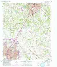
Editions of this 1958 Sherman Map
This is the sole edition of this map. No revisions or reprints were ever made.
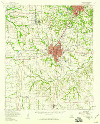
Historical Maps of Sherman Through Time
6 maps found