
1958 Map of Sherman NW
USGS Topo · Published 1959About this map
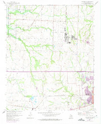
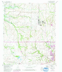
Perrin Air Force Base dominates the central landscape of this 1950s survey, its runways and facility grid standing in sharp contrast to the surrounding creek-cut terrain. On the northwestern edge, the Hagerman National Wildlife Refuge preserves the natural shoreline near an old segment of the Texas Missouri Kansas and Pacific railroad. The map captures a transition in North Texas land use, where traditional agrarian markers like Hagerman Ch and Kersey Cem sit alongside an increasing number of Oil Wells. Near the southeastern corner, the outskirts of Sherman begin to take shape, featuring the Woodman Circle Home and Wakefield Sch. The drainage network, led by Iron Ore Creek and Harris Creek, illustrates the complex topography that shaped local settlement patterns before the full expansion of the neighboring urban centers.
Find a feature on this map
21 named features on this map. Tap any name to fly to it.
Don’t see what you’re looking for? This feature index may not catch every label — zoom into the map to look around manually.
Map Details
Editions of this 1958 Sherman NW Map
3 editions found
Other maps of this area

1901 · Denison
USGS Topo · 1:125,000

1954 · Sherman
USGS Topo · 1:250,000

1957 · Denison Dam
USGS Topo · 1:24,000

1958 · Dorchester
USGS Topo · 1:24,000

1958 · Gordonville
USGS Topo · 1:62,500

1958 · Denison Dam
USGS Topo · 1:62,500

1958 · Whitesboro
USGS Topo · 1:62,500

1958 · Sherman
USGS Topo · 1:250,000

1958 · Sherman
USGS Topo · 1:62,500

1958 · Sherman
USGS Topo · 1:24,000