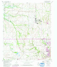
1958 Map of Sherman NW
USGS Topo · Published 1991About this map
Hagerman National Wildlife Refuge borders the western edge of this Grayson County landscape, where the terrain is defined by a dense network of tributaries including Harris Creek and Myer Branch. The map documents a rural transition toward the northern outskirts of Sherman, featuring small community landmarks like the Woodmen Circle Home and Wakefield Sch. Transportation and industry drive the local geography, with the Missouri Kansas Texas and Texas and Pacific railroads cutting through the countryside alongside numerous Oil Wells. For family historians, several burial sites and meeting places are preserved here, including Enterprise Cem, Kersey Cem, and the Friendship Ch. The presence of the County Airfield reflects mid-century infrastructure development as the region's agricultural character began to integrate with industrial and aviation needs.
Find a feature on this map
21 named features on this map. Tap any name to fly to it.
Don’t see what you’re looking for? This feature index may not catch every label — zoom into the map to look around manually.
Map Details
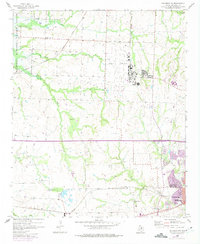
Editions of this 1958 Sherman NW Map
3 editions found
Other maps of this area

1901 · Denison
USGS Topo · 1:125,000

1954 · Sherman
USGS Topo · 1:250,000

1957 · Denison Dam
USGS Topo · 1:24,000

1958 · Dorchester
USGS Topo · 1:24,000

1958 · Gordonville
USGS Topo · 1:62,500

1958 · Denison Dam
USGS Topo · 1:62,500

1958 · Sherman NW
USGS Topo · 1:24,000

1958 · Whitesboro
USGS Topo · 1:62,500

1958 · Sherman
USGS Topo · 1:250,000

1958 · Sherman
USGS Topo · 1:62,500